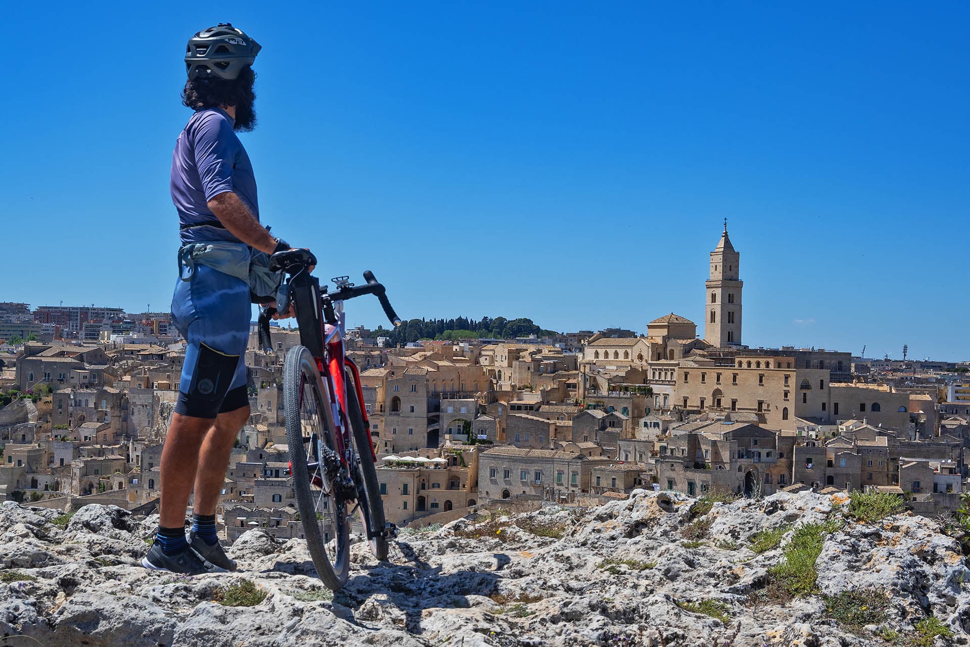
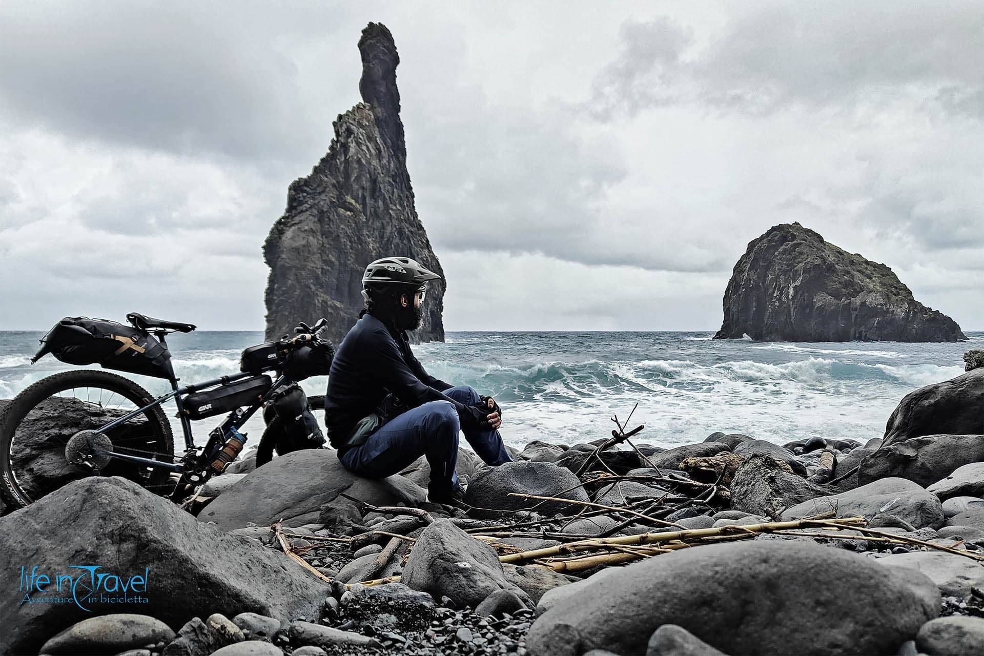
I like having a chat with the cyclists I meet. Where are you going, where are you from etc… I especially like being a Cicero and giving advice on where to go or what to see. My messy English and the difficulty of explaining a route (even in Italian) even led me to advise a German to go and see my article on Lifeintravel.it.
Since I've been riding a little lately, I decided to write about the best-known route: the Ligurian Riviera di Levante by bike, more precisely the stretch from Genoa (included) and Sestri Levante.
Important note: the entire coastal route is traversed by the railway and, incredible thing for the famous Ligurian hospitality, the bikes travel for free... for now at least.
Genoa by bike
Generally, you arrive by bike from the north (seeing the sea to the south) and you reach the city either from the Passo del Turchino which reaches Voltri, the extreme west of the city, or from the two main valleys that take the names of the relative rivers: Polcevera to the west coming from Passo dei Giovi and Bisagno to the east coming from Passo della Scoffera.
They are all three State Roads but don't worry too much, in Liguria the state roads are slow and not too busy, at least from the heavy traffic that passes exclusively on the highway. Their tortuosity makes long mileage improbable whose times would be eternal. Even on the Via Aurelia, the SS1, the traffic is mostly local, between neighboring towns and without large trucks.

If you are not in a hurry but you have legs, I recommend the following variants where you will find more cyclists than cars:
- between Turchino and Giovi
- Piani di Praglia through the Capanne di Marcarolo park
- Passo della Bocchetta
- between Giovi and Scoffera
- Casella – Orero – Sant’Olcese (famous for its salami)
- Montaggio – Crete
- Scoffera – Davagna – Dercogna


Genoa is worth a visit. Its historic center, the expo area that allows you to see it "almost from the sea", churches, museums, a city that has significantly increased its tourism in recent years, especially cruises. But it is better to visit it on foot, given that, despite the effort, the cycle paths are not the best. Indeed, in reality the only real cycle path is precisely the one that from the Foce (del Bisagno) leads us to the east along Corso Italia, the seafront that leads to the village of Boccadasse also made famous by Montalbano's girlfriend.
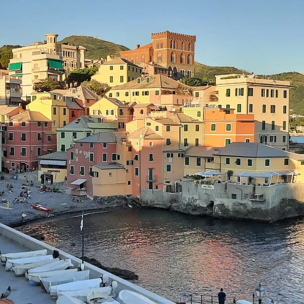
Boccadasse, "donkey's mouth" (mouth of âze in the Genoese dialect), has indeed its charm. A small bay with an equally small beach, fishermen's fishing boats, old colored houses, all very close to the city centre.

After Boccadasse, continue along the coast passing through the districts of Sturla, Quarto (from where Garibaldi's Thousand departed), Quinto and Nervi. The city of Genoa ends with Nervi, which at the opposite extreme begins with Voltri and extends for about 30 km. Nervi is famous for its microclimate and for its promenade named after Anita Garibaldi. The Genoese have not yet decided whether it is viable by bicycle but even if it were, I would not recommend it especially on the weekend. Be that as it may: DO IT!! And also take a look at the Parks and their famous Rose Garden. Climbing enthusiasts can also climb the hill of Sant'Ilario and perhaps reach the church of San Rocco.

From Genoa to Recco
Back on the Aurelia we cross the villages of Bogliasco, Pieve Ligure and Sori. In reality, the road does not cross the three small villages and you have to go down on purpose, but without a great difference in height.

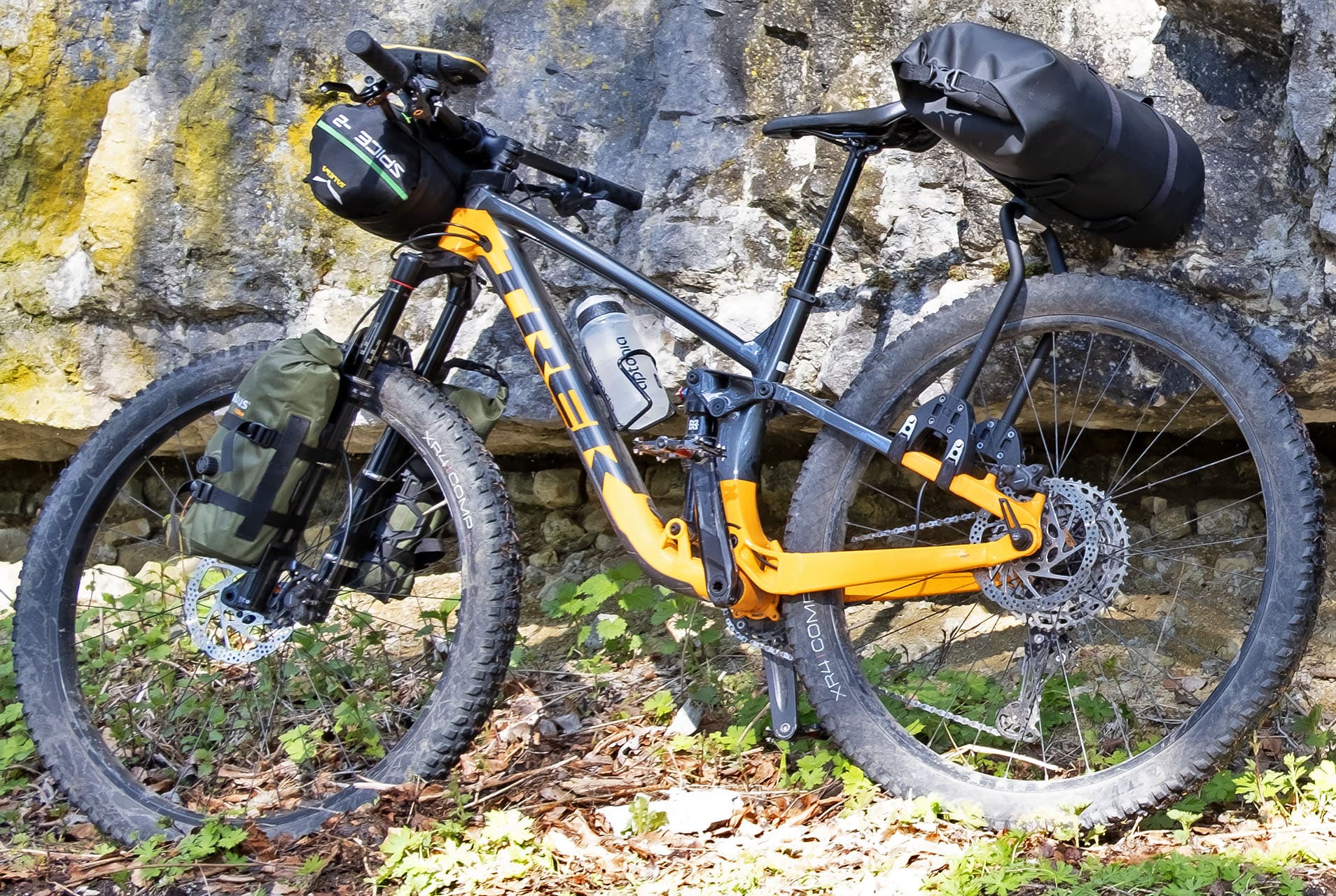
For MTB enthusiasts, you can go up from Bogliasco to San Bernardo and then get to the Santa Croce refuge, a frightening panorama but prohibitive height differences. Better from Pieve Alta.
For the "grimpeurs" from Sori you can go up to Cornua and, if you like, up to the top of Fasce, the mountain which with its 834 meters overlooks the east of the city and from which you can see the entire city.


And we arrive in Recco, where a taste of the famous focaccia with cheese and trofie with pesto is mandatory. Tossini or La Baracchetta are good among the many Recchelini restaurants.
Also from Recco, as from Sori via Cornua, you can reach Uscio and the Val Fontanabuona, an inland valley that runs parallel to the coast from the Scoffera Pass to Chiavari, the only one in Liguria. It is a route widely used by cyclists arriving from Lombardy avoiding the Genoese area, 30 km. of easily pedaled false floor.
Portofino promontory
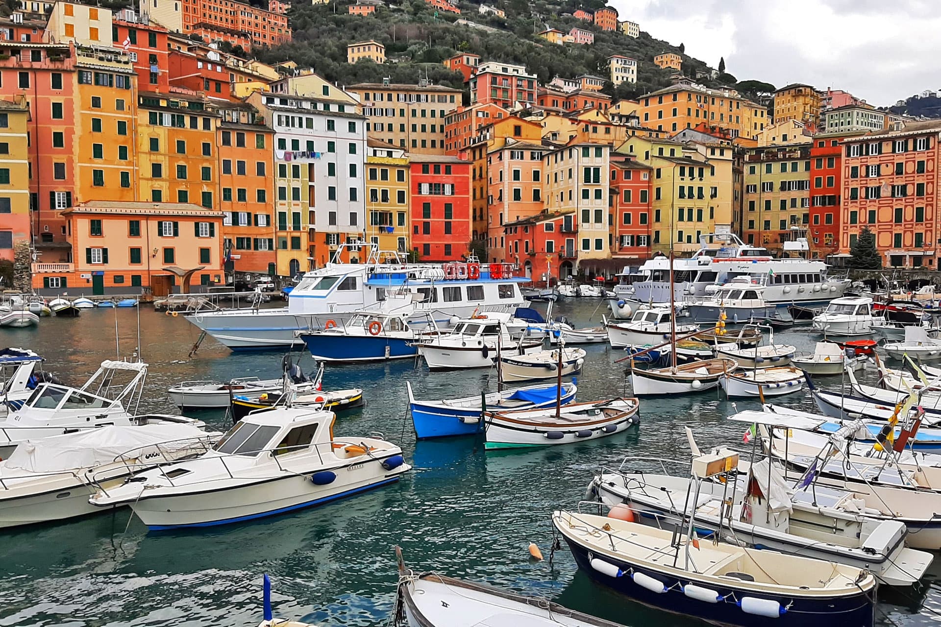
Between Recco and Santa Margherita Ligure stands the stupendous Portofino Promontory which alone would deserve a long article. Climb about 300 meters towards Ruta di Camogli which, however, can also be reached from Camogli itself. This road is undoubtedly preferable because Camogli is certainly worth a visit. The walk to the small port, the narrow and colorful houses, its sheltered beach make it one of the pearls of the eastern Ligurian Riviera. Leaving the pedals and getting on the boat you can reach the abbey of San Fruttuoso di Camogli, not easy to reach on foot.

For trekking lovers, the promontory offers an infinite series of paths that cross it and is also very popular with MTBs who can pass through paths dedicated to them. To get to the top of the promontory, take the road immediately to the right of the tunnel up to Portofino Vetta. It seems to enter the gate of a villa but instead it is also accessible to cars.
Alternatively, again from Ruta, you can reach the village of San Rocco, right on the vertical line of Camogli and from where a footpath leads to Punta Chiappa, a typical destination for local walks. However, we are at the beginning of the most beautiful part of the eastern coast together with the 5 Terre.

From Ruta, however, we begin to descend. Taking the first crossroads in San Lorenzo della Costa we descend directly to Santa Margherita Ligure, going straight we arrive in Rapallo. Surely the most interesting part to go are the 5 km. between Santa Margherita and Portofino, perhaps trying to avoid the weekend or the busy periods in one of the most famous villages in Italy. The "piazzetta" is undoubtedly fascinating but, apart from the fact that it is not accessible to bikes, not even by hand (bring a padlock), it is prey to tourism that is numerically not very similar to the size of the place. The idea of visiting it during the week, perhaps in the evening, is excellent.

Toward Sestri Levante – Tigullio gulf
From Portofino you arrive and start again, the road ends as in Camogli against the rocks of the promontory. Then we retrace our steps east through the small and beautiful bay of Paraggi with the emerald water, the crowded Santa Margherita Ligure with the famous Covo di Nord-Est, San Michele di Pagana and Rapallo.

From Rapallo, which is not worth a stop, you go up again towards Zoagli which is the only seaside town on the stretch of coast up to Chiavari. For a dozen km. no "waterfront" road but the panorama is not lacking anyway. A small detour can lead us to the millenary Church of San Pantaleo, from whose churchyard you have a wonderful view of the gulf and Portofino.


Well, all in all, so far from Genoa we have found easy climbs and descents, at least on the coast road, and we have enjoyed the view. We are now in Chiavari, the "capital" of the Gulf of Tigullio, the largest city between Genoa and La Spezia which deserves to be crossed along its "caruggio".
As already mentioned, Chiavari is also the arrival point of the Val Fontanabuona, the valley of slate (even a cycle path celebrates the precious building stone ...... and blackboards!!). The hinterland of Chiavari reserves bread for climbers' teeth. From Carasco we have three options: reach Santo Stefano d'Aveto (1,000 m.), go downhill from Passo del Tomarlo at an altitude of 1,500 and reach Emilia from Bedonia and Val di Taro. The same destination can be reached a little more easily by taking a detour to Passo del Bocco, or from the combined Passo del Biscia and Passo Cento Croci after descending into pretty Varese Ligure.
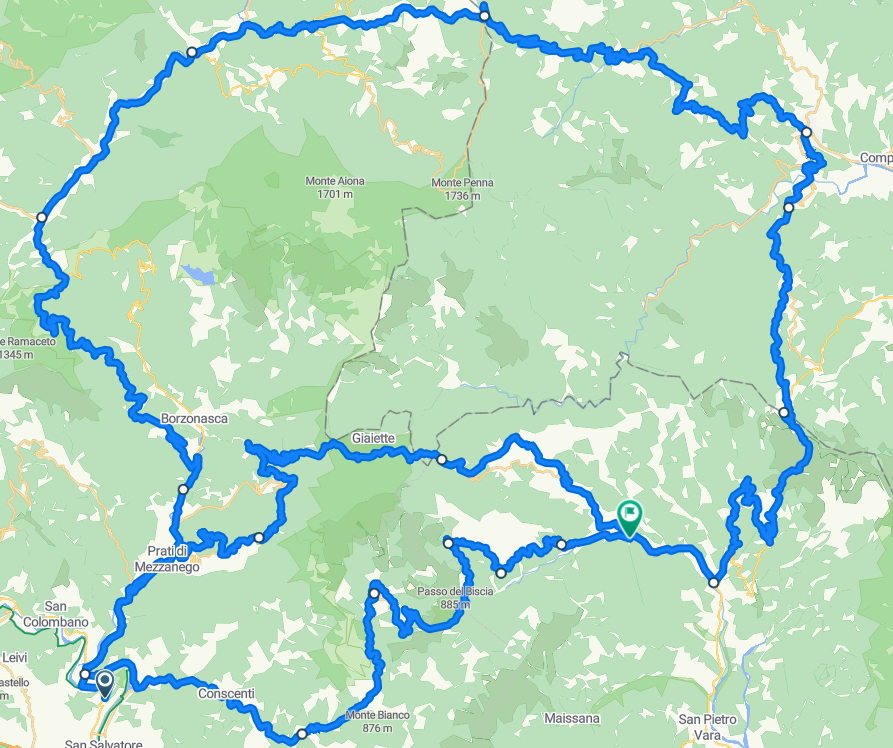
Returning to the coast, the road that leads from Chiavari to Sestri Levante is a long straight road that passes between the "on the beach" railway and the villages of Lavagna and Cavi. Sestri is another pearl that we cannot miss. It marks the eastern end of the Gulf of Tigullio and its peninsula divides the two bays, that of Favole and the more characteristic one of Silence. The pedestrian street that crosses the isthmus is full of shops and clubs, a nice place to live.


