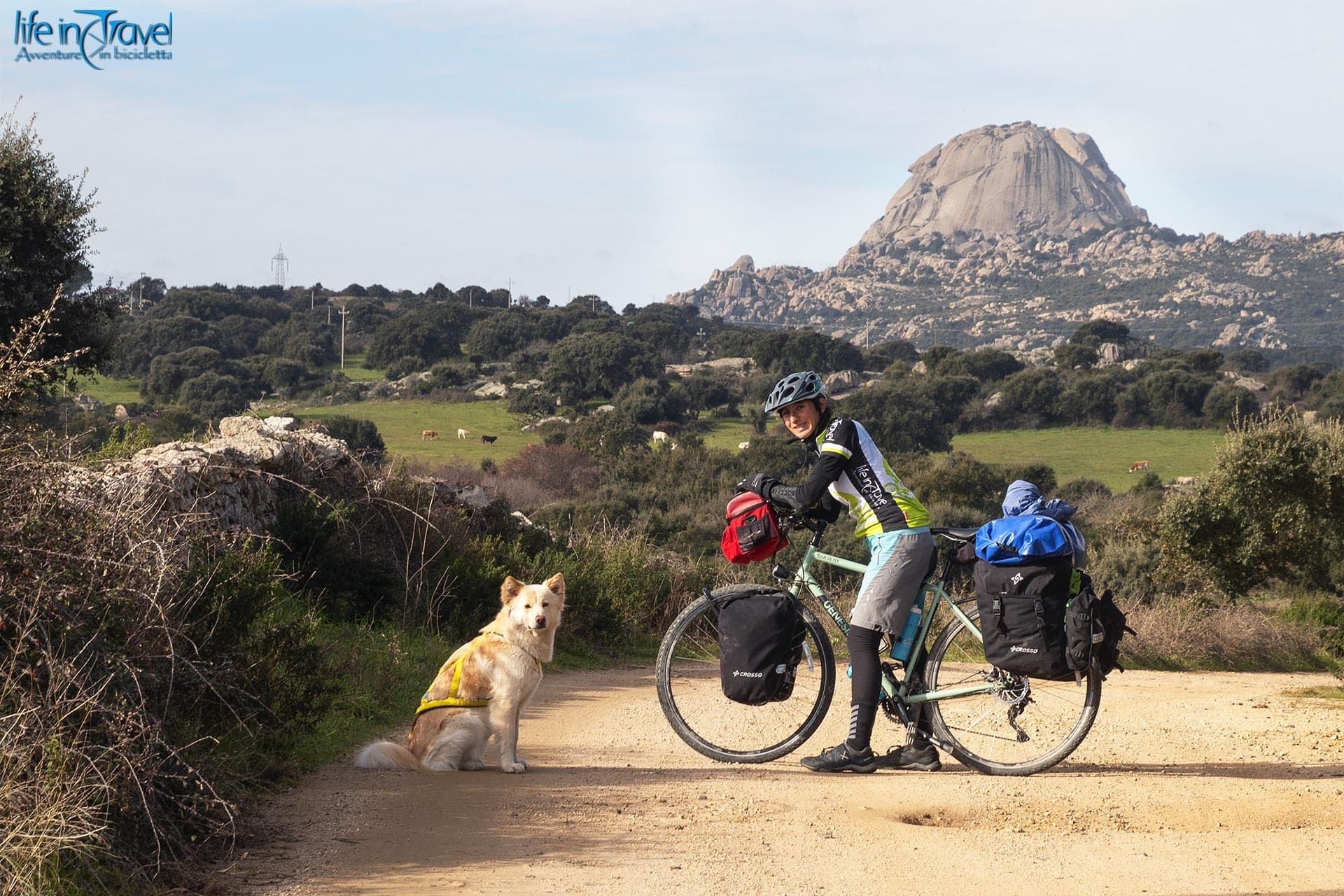
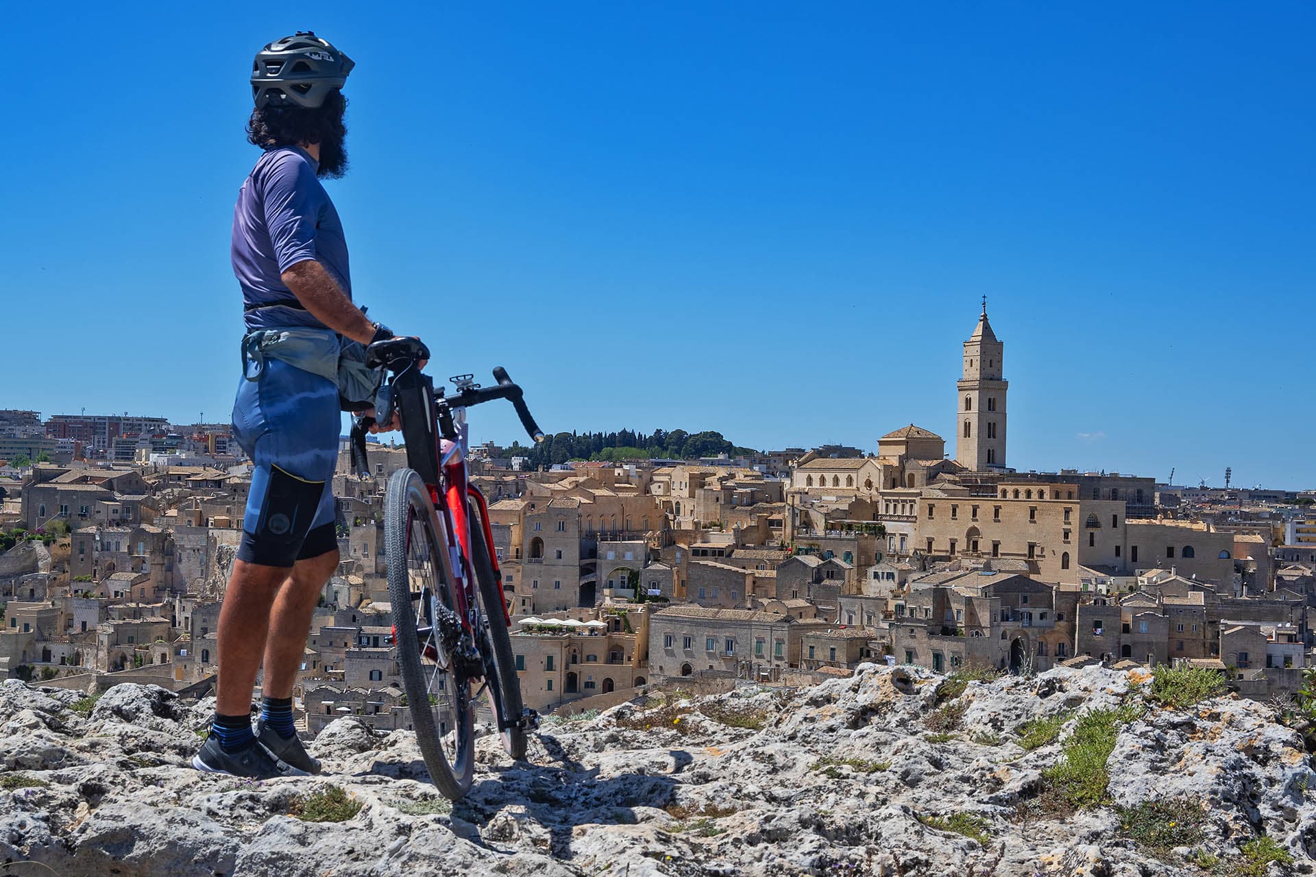
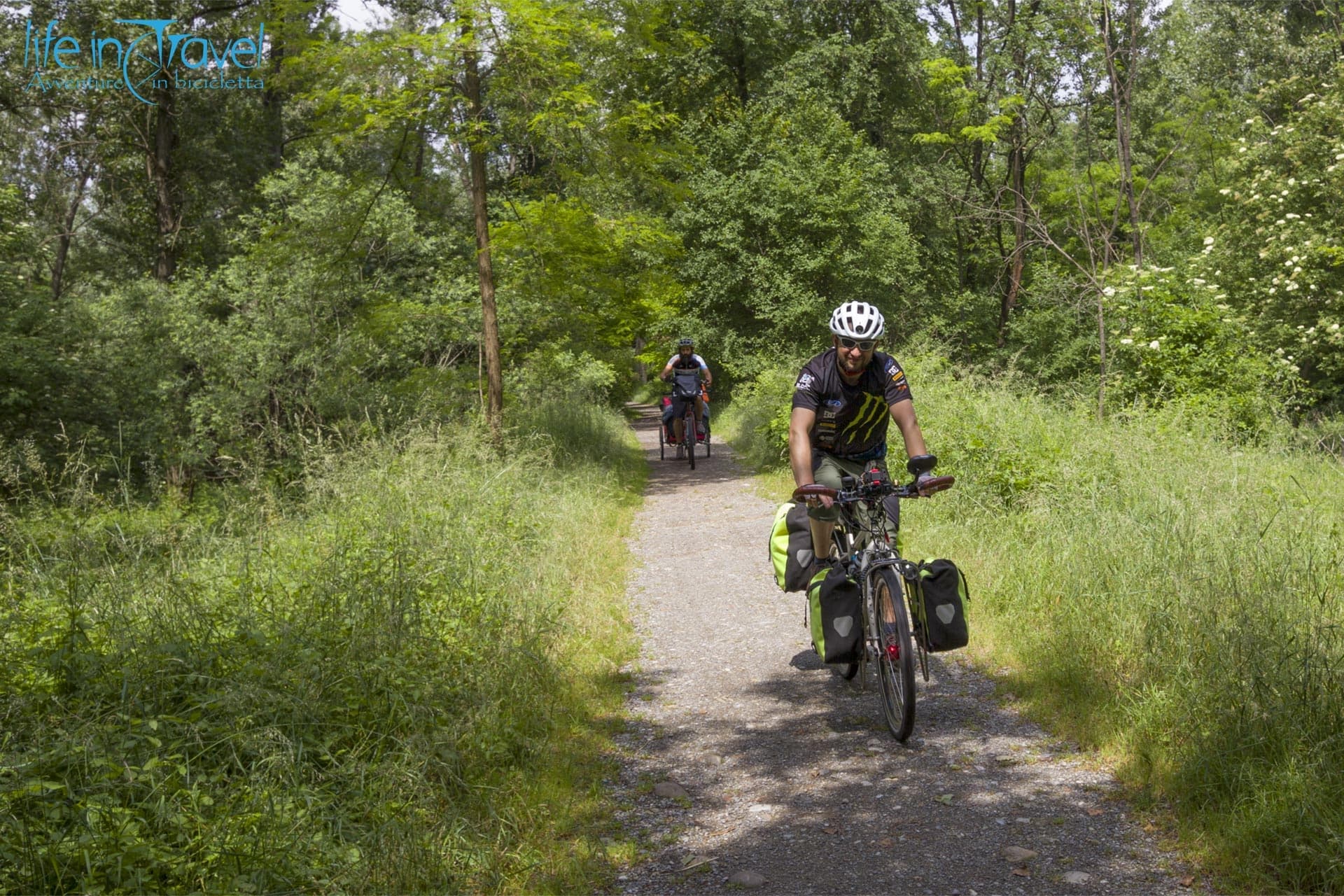
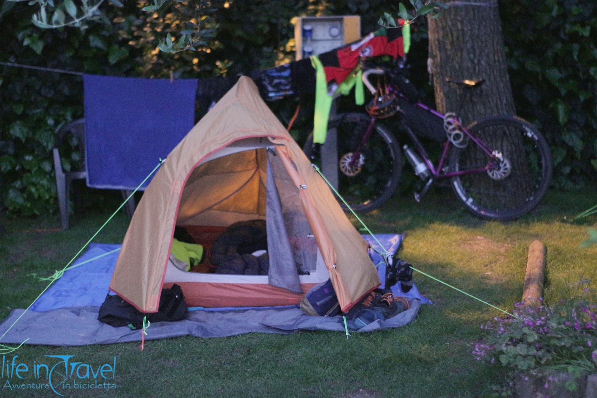
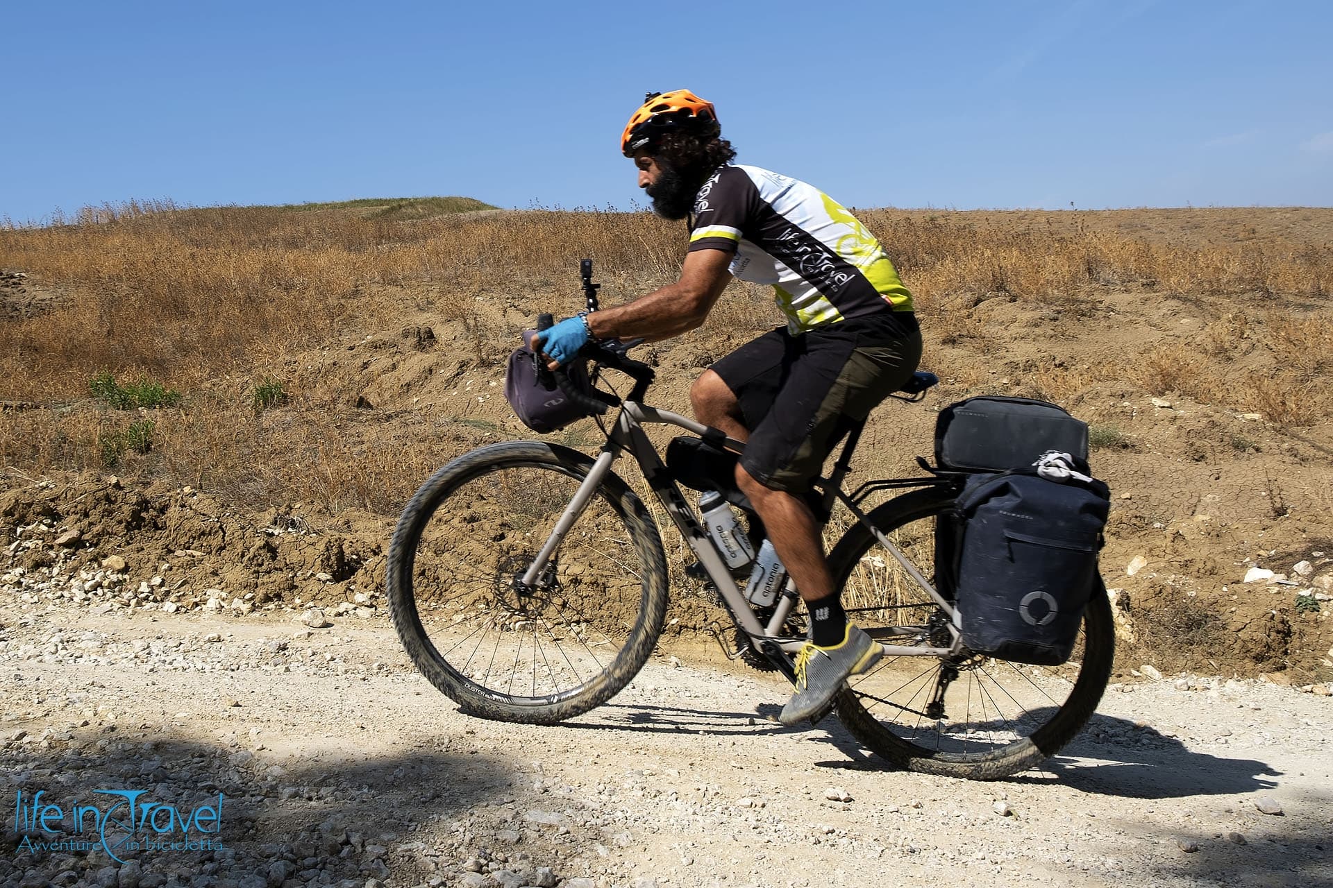
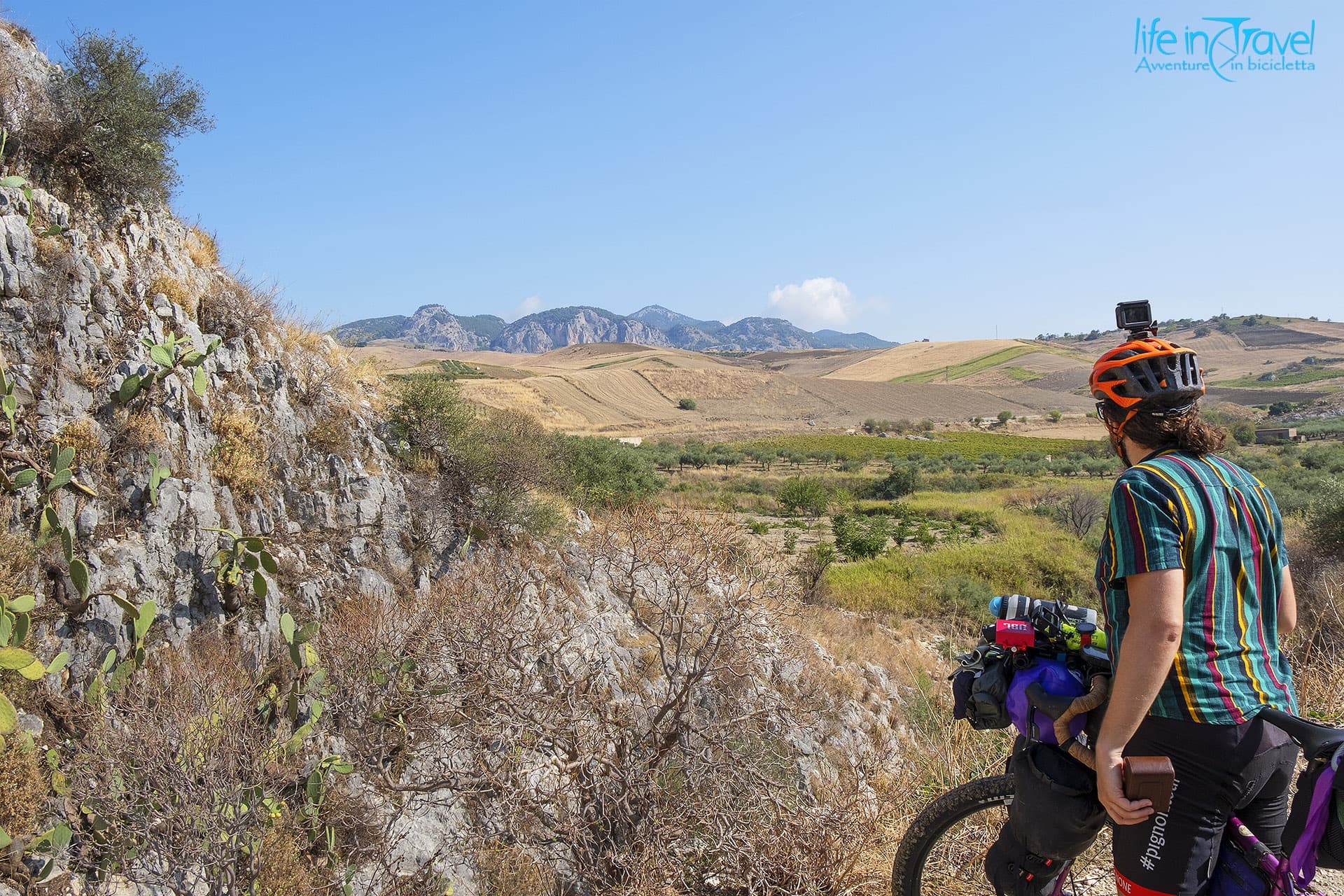
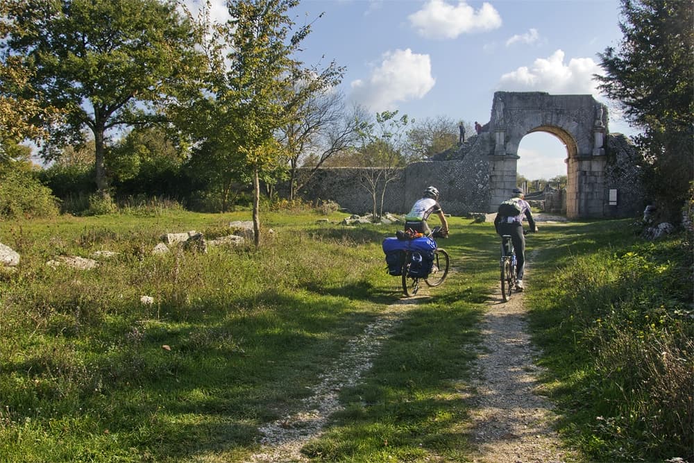
Crossing Sardinia by bicycle means traveling through time and in the heart of a hospitable community, in a territory that hosts you like you were at home, in the heart of a beautiful land enclosed between sea, sky and the peaks of the Gennargentu Mountain, dry during summer and snowy during winter. In this winter bicycle adventure, riding in unknown gravel roads, old railways, and old Nuraghe, we cycled more than 1200 km in Sardinia, from the northernmost part to the heart of the truest Barbagia, in short-medium length legs, due to the short wintery days. For personal reasons, we have been forced to stop our Sardinian adventure in Orgosolo, but in order to complete it, we suggest adding the two or three legs that we should have cycled to reach Olbia.
In this article, you will find our Sardinian itinerary leg by leg. As anticipated above, we didn't ride many kilometers per day, because we traveled in winter with short days and we added a lot of cultural and naturalistic stops.
Moreover, we added the last two or three legs to Olbia, which we would have cycled, but for personal reasons we couldn't.
Santa Teresa di Gallura - Caprera
Leg 1 | 53 km | 820 m elevation gain | Tent
First day riding in Sardinia, between hills and the sea. After
10 days traveling in Corsica, we start discovering Sardinia from the harbor where our boat from Bonifacio comes. From Santa Teresa di Gallura we reach the
peninsula of Capo Testa, characterized by the white lighthouse from 1845 and by the magnificent
Valley of the Moon. From Capo Testa, we come back to Santa Teresa stopping by the archeological site of
Lu Brandali (the entrance costs 2€ and you can bring dogs), with the giants' tomb and the village 3500 years old. Passing by Santa Teresa, we go on
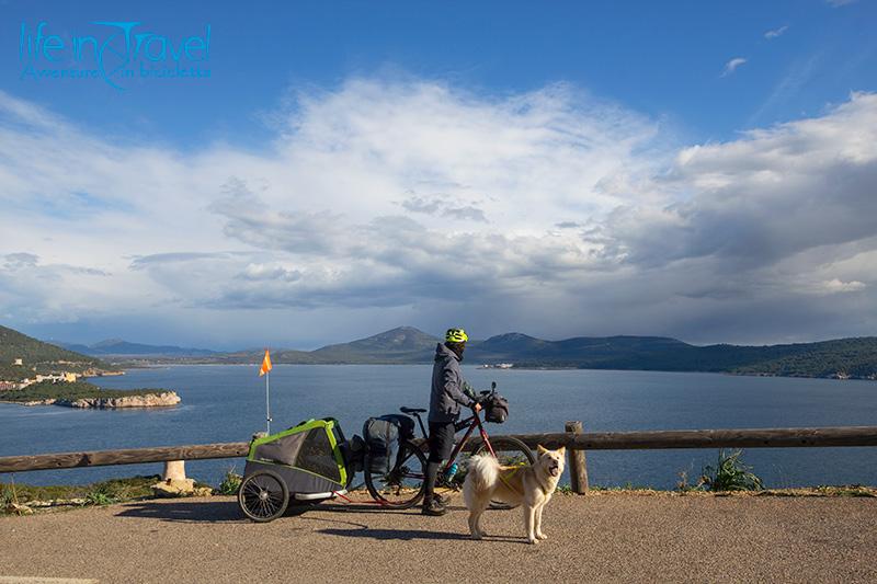
on a secondary country road up and downhill towards east and Caresi, among numerous pens and some granites. We climb up to the SS133bis in locality Porto Pozzo but, at the interception towards Costa Serena, we leave the main road to reach Palau without pedaling in the traffic. In the Costa Serena area, there are many residences and one can enjoy the view on the islands of La Maddalena. From Palau, we sail to the
National Park of La Maddalena and its harbor on the namesake island. In 15 we disembark, ready to reach
Caprera, a small paradise on earth where Garibaldi chose to live.
A medium difficulty leg on secondary asphalted roads.
3 places not to be missed
- Capo Testa, the lighthouse and the Valley of the Moon
- Nuragic site of Lu Brandali
- Rena Bianca Beach in Santa Teresa di Gallura
Caprera - La Maddalena
Leg 2 | 34 km | 450 m elevation gain | Tent
After a quiet New Year's Eve's night on the island of Caprera, we ride on the gravel to the Battery of Punta Rossa, in front of the Island Porco. Riding on the road towards the lighthouse we pass by some interesting beaches: Cala degli Inglesi, Cala dei Due Mari, Cala Andreani... From the most southern part of Caprera, we come back, partially on the same gravel road, partially through a pine wood, until we reach the Moneta Bridge to La Maddalena. We decide to ride on the island anti-clockwise with a little stop at Cala dello Spalmatore for a dive. Costone Beach, Cala Lunga, the small Island of Cardellini accompany our ride towards the heart of the island. At the Church S.S. Trinità, where it's possible to refuel with some water, we continue towards the Old Guard and the lighthouse. We climb towards the fort of the Colmi and the view on the north-western coast of La Maddalena. We finally start descending on large turns towards Cala Francese, which we reach on a fun gravel road.
Easy leg with short gravel disconnected bits and many pauses.
3 places not to be missed
- The Battery of Punta Rossa and the beaches of Caprera
- Cala Spalmatore and the other beaches around the island of La Maddalena
- A dive in the National Park of La Maddalena
La Maddalena - La Prisgiona Nuragic site
Leg 3 | 35 km | 450 m elevation gain | Tent
After a windy night in our tent, we leave towards the main center of the island for breakfast. The ferries to Palau are a lot and it doesn't take much time to continue our trip towards Capo d'Orso, east. The provincial road 121 isn't busy and a myrtle harvesting machine attracts our attention. The precious berries grow on every part of the Sardinian coast, but the Gallura region seems a particularly rich area... Without reaching Capo d'Orso, but seeing its characteristic rock which gives the name to the locality, we follow the coast stopping by the beach Li Piscini, deserted during this time of the year, then over to Cannigione and then towards Arzachena. Continuing on secondary asphalted and not busy roads, we can reach the Nuragic site of La Prisgiona, in locality Capichera, in the afternoon. We spend 45 minutes visiting the village (4€ entrance fee with the possibility to bring the dog), taking a lot of photos and videos.
An easy leg on secondary roads with many interesting points.
3 places not to be missed
- Rock of Capo d'Orso
- Beach of Li Piscini
- Nuragic site of La Prisgiona
La Prisgiona - Telti
Leg 4 | 46 km | 1240 m elevation gain | Tent
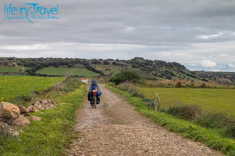
From the archeological site of La Prisgiona, on empty secondary roads, we reach the gravel trail suggested by our friends Nico and Anto which will allow getting closer to Monti to then cycle on the old railway. The fascinating land in Gallura, wild and inhabited, welcomes us with continuous up and downhills among valleys, rocks, breathtaking views on the Sardinian east coast but also on the far Corsica. Some conifer let us think to be cycling in some parts of Norway. Fortunately, soon we are immersed again among the cork oaks and the fields where some sheep happily eat. In Priatu, it's possible to buy something to eat asking the bartender who runs the market next door. The road, which now is asphalted, is mildly busy: we are now on the main connection from Olbia to Tempio Pausania. In a couple of kilometers, we turn again on the secondary road, soon gravel, towards Telti. Some tractors, artistic little walls and fenced woods we reach the entrance of Telti, where we will be staying overnight.
An intensive leg, but extremely beautiful, mainly on gravel roads,
3 places not to be missed
- Giants' tomb in Coddu Vecchju
- Views on Tavolara and Corsica
- Cork oaks wood
Telti - Calangianus
Leg 5 | 34 km | 490 m elevation gain | Guesthouse Gallurà
From Telti we ride towards Monti, where the old railway towards Calangianus, the city of cork, should start. The center of Telti, where it's possible to have breakfast and buy something to eat and drink during the day, boasts some colorful graffiti. A few kilometers afterward, we reach Monti, where we start looking for the old railway Monti - Calangianus by bicycle.
Fun and panoramic leg almost completely on gravel.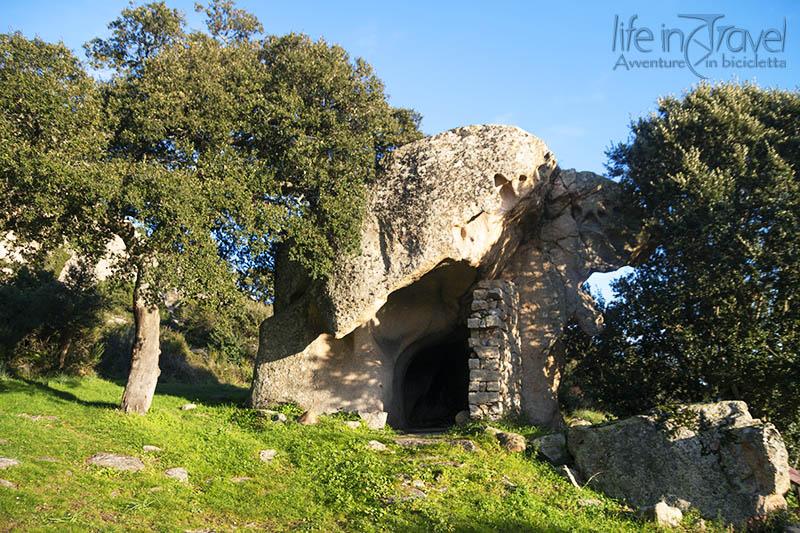
3 places not to be missed
- The traces of the old railway
- Rock monsters and fairies
- Conca Fraicata in Calangianus
Calangianus - Aggius
Leg 6 | 49 km | 900 m elevation gain | B&B La Tasgia
From Calangianus we follow the last bit of the old railway to then climb up to the picturesque Mount Pulchiana. In this leg, we will be reaching Aggius along an alternative path among gravel trails and secondary roads that we described in the article Aggius and the Valley of the Moon in two days.
Pleasant leg, on asphalt and gravel, with a very difficult bit before Mount Pulchiana.
3 places not to be missed
- Cork Museum in Calangianus
- The dolmens in Luras
- Mount Pulchiana
Aggius - Castelsardo
Leg 7 | 58 km | 900 m elevation gain | B&B Il Palloncino
Dolores' B&B Tasgia is located in the locality of Bonaita, from where it's possible to follow a secondary road to a wind farm. It starts uphill, pushing on the pedals to reach the many turns to gain some height. When we manage to climb the mountain, under a menacing sky, we jump in a descent towards Bortigiadas until we reach the parallel road to the more busy Olbia - Sassari. Some kilometers in the woods of this area lead us to Pertugas, a city where we can drink a coffee and buy some food. From the village, on a panoramic secondary road, we climb up towards Bulzi and Sedini. The area is full of old churches which can be shortly visited with some deviations to the itinerary. In Sedini we must visit the picturesque Domus de Janas: a house built inside a big rock formation where once there was a necropolis. Domus de Janas has been, during the years, a prison, the headquarter of a party, a recovery for animals, a house and then a museum. From Sedini we descend to the sea reaching the SP90, a pretty busy road. Fortunately, at its side, there is a gravel road which allows us to pedal peacefully. After some kilometers we leave the road to then turn right, pass by a Nuraghe and reach quickly the famous elephant rock. We officially entered the region of the Anglona, after some days in the wild Gallura. From the elephant rock the road to Castelsardo, one of the most beautiful villages of Italy, is short and asphalted.
Variegated leg with up and downhills and some bits of gravel.
3 places not to be missed
- The Valley of the Moon
- The ethnographic museum and the bandit museum in Aggius
- Domus de Janas in Sedini
Castelsardo - Porto Torres
Leg 8 | 37 km | 360 m elevation gain | B&B Il Melo Residence
During low season Castelsardo is a quiet village, and it would be a shame not to visit its center which can be reached by bicycle along the city road climbing up to the castle. From this high, there are some good views of the
Asinara National Park. From Castelsardo we follow the coastal road towards south-west towards Lu Bagnu and Punta Tramontana. It is a pretty boring bit, but sometimes there are some interesting panoramas breaking the monotony. Getting closer to Porto Torres, the sandy beaches appear larger and more gold. I suggest a
birdwatching stop at the
pond of Platamona, before going on. A few kilometers before our destination we turn on a cycle path. We will do it again at the entrance of Porto Torres, one of the main harbors of Sardinia. In Porto Torres and around it, you can visit the Romanic church of Saint Gavino, the biggest of the island, the Domus of Orpheus, the roman bridge, one necropolis, the Aragonese tower, and some Nuraghe.
Short leg, all along the coast.
3 places not to be missed
- The elephant rock
- The historic center of Castelsardo
- Birdwatching at the pond of Platamona
Porto Torres - Baratz
Leg 9 | 58 km | 640 m elevation gain | B&B La Casa degli Avventurieri
From Porto Torres, we pedal towards the west and the industrial area of the city, which seems pretty crumbling. Among the old hangars, not far from the sea we can see the first of many dog packs of our journey, loud but harmless. The secondary asphalted road that we follow, SP34, is deserted and leads us to Stintino. In Pozzo San Nicola we turn left leaving Asinara and the famous Stintino behind. In just a few kilometers we deviate on a very fun gravel trail towards Lake Baratz. Up and downhills alternate slowly, Nala car run free and we try to shift the big ponds created by the bad weather of the previous days, together with Enrico who joined us from Alghero on a road bike. A big pond takes me into the water: it's 10° outside but the adrenaline luckily protects me from the cold. We ride safely onto the asphalt before reaching Palmadula. Lake Baratz, the only natural lake in Sardinia, is closer and closer, and after crossing the Nurra, we are looking forward to reaching the destination. Paolo's La Casa degli Avventurieri is a quiet place not far from the sea and from the picturesque promontory of Capo Caccia... in this area, it's possible to kayak too!
On secondary roads and isolated gravel roads, with some heavy bits.
3 places not to be missed
- Orpheus' Domus and the Roman bridge in Porto Torres
- Gravel roads in Nurra
- Lake Baratz and the seashore on a Kayak
Baratz - Alghero
Leg 10 | 43 km | 420 m elevation gain | Guests at Enrico's place
From the
B&B La Casa degli Avventurieri, after a long straight road, we reach the SP55bis to then turn left towards Capo Caccia (by turning right and after a few hundred meters you can stop at a cafe). Despite it is the only road to reach
Capo Caccia and Neptune's Cave, during low season it is absolutely not busy at all and allows to bicycle tourists to fully enjoy this beautiful corner of Sardinia by bicycle. Once you pass over Pischina Salida, with the Tower of Tramariglio and the beautiful view on Punta Giglio, we turn on the alternative asphalted road towards the
Belvedere on Foradora Island, a few hundred meters which allow having another beautiful view on the site. Capo Caccia is close, but the access to Neptune's Cave isn't open in January. We come back on the same road crossing the
Regional Park of Porto Conte, but instead of going straight towards Lake Baratz, we turn right towards Fertilia and Alghero. We face the last part of the leg on the
suggestive city cycle path which crosses the city without losing sight of the sea.
Easy leg but extremely beautiful.
3 places not to be missed
- The panorama on Punta Giglio and the Foradora Island
- Capo Caccia and Neptune's Cave
- The cycle path in Alghero
Alghero - Bosa
Leg 11 | 55 km | 900 m elevation gain | Tent
The leg Alghero - Bosa is a classic among the itineraries in Sardinia by bicycle. Along the panoramic road, off-season, you may not find any shops until the arrival to the beautiful destination. The elevation gain is quite a lot, but slowly you will get it without any problems. Along the road, with some concentration, you will be able to see one of the many colonies of griffons which populate the peaks above the sea: their flight and their size is unique, you cannot be mistaken! Bosa, with its castle, the old tanneries, the colorful historic center, and its beaches deserves a visit slowly so, if you have the possibility, take one day in this area.
Medium leg, demanding for the elevation gain, but all on asphalt.
3 places not to be missed
- Alghero's Catalan heart
- Observation of the griffons on the road to Bosa
- Bosa, one of the most beautiful villages in Italy
Bosa - Paulilatino
Leg 12 | 49 km | 1120 m elevation gain | Tent
This is a demanding leg which leads us far from the sea and into the Sardinian hinterland. From Bosa Marina, a steep hill brings us to Magomadas and Tresnuraghes. Soon we reach Sennariolo, a tiny village with beautiful graffiti art. Sennariolo, living below the Montiferru and not far from Cuglieri, is one of the smallest villages in Sardinia. We entered the province of Oristano and the road continues towards Cuglieri, 500 high above sea level. Against all odds, we decide not to come back to the sea but to continue in the hinterlands uphill on the SP19, where we are completely alone. The beautiful road goes beyond Casteddu Etzu and keeps ascending between green woods and below Punta Arancola. After the passage at 880 meters, we start descending towards Santu Lussurgiu, 300 m circa lower. From this beautiful village, built vertically, we keep riding on the secondary road, the SP65, towards Paulilatino finishing the leg on a secondary gravel road.
Demanding leg from the sea to the hinterlands and the mountains.
3 places not to be missed
- The small village of Sennariolo with its graffiti
- The road connecting Cuglieri and Santu Lussurgiu
- A ride in the streets of Santu Lussurgiu
Paulilatino - Fordongianus
Leg 13 | 36 km | 380 m elevation gain | Tent
We start from the edge of the village to then pass through the center, for breakfast and some grocery shopping. We luckily meet Mario, the shepherd poet, an erudite and wise man. From Paulilatino we follow the direction Riu Pitziu to find ourselves on a secondary road leading us to the Santa Cristina site. If you pass by this sacred well, you must stop for a visit! In a couple of hours, you can visit the archeological site. From the Nuragic sanctuary, we follow a gravel path which leads us to three fords: on Rio Trogos we'll be lucky enough (without even knowing it!) of being able to admire one of the oldest bridges of the world, the Nuragic bridge. Our track then continues on good gravel through Pautiliano's Forestry Building Site, with farmed fields and sheep. Just before Villanova, we are back on asphalt to then cross the river Tirso and cycle on the SS388 until Fordongianus. The city of Fordongianus boasts a well-preserved center, the Aragonese house, some nuraghe and a couple of Domus de Janas. After reaching the SPA it's possible to follow the short but pleasant dirt along the Tirso river until the exit of the city. After it, the asphalt road keeps climbing up towards Allai.
Short but intense leg, partially on gravel. 
3 places not to be missed
- The sacred well of Santa Cristina
- The oldest Nuragic bridge in the world
- Roman SPA of Fordongianus
Fordongianus - Genoni
Leg 14 | 49 km | 950 m elevation gain | Tent
Getting closer to Giara di Gesturi means going uphill on the road connecting Fordongianus to Allai to then turn on some hairpin turns, asphalted but with just a few cars, towards Ruinas. It seems like hiking the Grand Canyon, but the one of the Massari rivers, leading in the small village above. From here the roads continues flat, bypassing the underlying plain, rich in Nuraghe and other signs of this land's past, with some beautiful sights on the snowy peaks of the Gennargentu. From Villa Sant'Antonio you slowly climb downhill to the SS42 towards Senis. Through secondary roads, partially also gravel and with a last steep climb to face (or hike, if you cycle with a trailer), you enter the village. A few spins of the pedals and we're out of the village on the SP16 uphill towards Genoni, one of the villages around the beautiful Giara di Gesturi.
Demanding leg, various and fun.
3 places not to be missed
- Allay canyon by bicycle
- Sights on the Barbagia mountains and the Nuragic sites on the upland
- Giara di Gesturi with the little horses
Genoni - Mogoro
Leg 15 | 48 km | 480 m elevation gain | B&B Nonna Pina
Rain is good on your cycling day! Or maybe. Under a pouring rain we give up on the idea of visiting the Giara by bicycle because being a basaltic upland, we would be swimming and not cycling! We cycle towards Nuragus and then Gesturi, finding the old railway which once connected the localities around the upland. It rains and the streets are muggy and difficult to cycle on. We are dirty, wet and cold, and we can continue until the most famous Nuraghe, the Su Nuraxi. We are now in the subregion of the Marmilla, with green and round hills, similar to little volcanos. We keep cycling on a secondary country road, dirty and muggy, until Tulli, where a fountain allows us to clean the gearbox, at least. From Tulli we reach the centenarian olive trees in Turri and then Baressa, Simala and finally, in the gloom, Mogoro.
A demanding leg, due to the bad weather and the muggy gravel roads.
3 places not to be missed
- Su Nuraxi in Barumini
- The "nipples" of the Marmilla
- Hugging a centenarian olive tree in Turri
Mogoro - Buggerru
Leg 16 | 70 km | 890 m elevation gain | Apartment
A long leg for this season. Long, but fun, shared with Gionata and Enrico, two Sardinian friends who organize adventures with Wild Trails. From Mogoro we basically land in the plain of Pabillonis: asphalt and gravel roads alternate while the unique shape of Mount Arcuentu watches us. We reach Guspini knowing that we'll have to climb the mountain: the ascent isn't particularly demanding and leads us, under the pouring rain, until the passage Genna e Frongia, 384 m high. The pass leads us to the city of Arbus, known for the knives produced by able craftsmen. From the pass, the road descends until the opposite part of Arbus, which develops vertically. Gionata and Enrico are waiting for us in a cafe on the street... they were under a hailstorm, but they are looking forward to cycle with us and have a chat. We keep riding towards the sea. Cradled by the little ascents and descents and by the chat we quickly reach pass Bidderdi, 492 m high. The passage separates the west Sulcis coast and the mineral area of Montevecchio, Guspini, and Arbus. After this hill, we start a long and panoramic descent towards the river Mannu. Enrico e Gionata will continue towards Fluminimaggiore, while Leo, Nala and I will continue following the river to the sea. The flat road continues parallel to the water. It's always fascinating to see the sea after some days in the hinterland. Capo Pecora and Portixeddu pop up over the bridge, but we keep on riding towards Buggerru between the beach and the Mediterranean scrub.

3 places not to be missed
- Mogoro and the art of the weaving
- Mount Arcuentu from the plain of Pabillonis
- The descent towards the sea from pass Bidderdi
Buggerru - Portoscuso
Leg 17 | 40 km | 850 m elevation gain | Tent
From Buggerru, where there was one of the first miners' strikes, we start climbing up along the coast until the beautiful Cala Domestica. From the little beach, the road keeps ascending towards Acquaresi's mine and then an effort is requested to pass the steep hill. After, the effort is paid back by the beautiful and steep downhill to the village of Masua with the port of Porto Flavia and the Pan di Zucchero rock. With these beautiful places in sight, we quickly reach Nebida, where we suggest a visit to the Laveria La Marmora on the panoramic walk. From here we descend again on asphalt until Fontanamare, where we turn towards Riu Sa Masa and the namesake pond. Once passed Gonnesa we turn towards the sand caves of Pontixedda following a gravel road, partially disconnected but quiet and isolated. After a long bit, we are on the SP108 again, where we will find a good spot for camping.
Beautiful leg in the mining past of the Sulcis region with wonderful views on the coast.
3 places not to be missed
- The mining area of Buggerru, the Henry Gallery and Cala Domestica
- Masua, the Pan di Zucchero, and Porto Flavia
- Nebida and the Laveria La Marmora
Portoscuso - Calasetta
Leg 18 | 49 km | 150 m elevation gain | Apartment
From the SP108 we quickly reach Portoscuso with the old tuna fishing factory and the small harbor where you can sail to Carloforte and the Island San Pietro. From Portoscuso we choose to cycle through the industrial area where the traffic is pretty inexistent. The plain allows to go on, even if Nala isn't quite happy to stay in the trailer. Near San Giovanni Suergiu we deviate towards the Island Sant'Antioco and Calasetta following the Sulcis old railway on the cycle path and gravel.
Quick leg, with a little elevation gain and a few easy gravel bits.
3 places not to be missed
- The old tuna fishing factory in Portoscuso
- The Sulcis old railway
- Birdwatching in Sant'Antioco
Calasetta - Terrazzu
Leg 19 | 54 km | 360 m elevation gain | Tent
From Calasetta we cycle on the Sulcis old railway until Terrazzu on gravel, short bits of a cycle path and secondary roads.
Variegated and very fun stage.
3 places not to be missed
- The white village of Calasetta
- The medieval village of Tratalias
- The Sulcis old railway
Terrazzu - Castello Acquafredda
Leg 20 | 42 km | 550 m elevation gain | Tent
This leg as well runs through the heart of Sulcis Iglesiente, twisting and turning into gravels and secondary roads (and even a ford) following the Sulcis old railway.
Another fun leg, which is guaranteed to be remembered!
3 places not to be missed
- The offroad viaducts of the old railway
- The necropolis of Montessu in Villaperuccio
- The Castle of Acquafredda
The Castle of Acquafredda - Church Santa Rosa in Sestu
Leg 21 | 47 km | 380 m elevation gain | Tent
From the beautiful Castle of Acquafredda, we can quickly reach Siliqua on the main road. From the little city, where we can shop for some grocery, we climb the hill behind the locality following an enchanting gravel path. We're so near to the plain of Campidano, but it seems to be in the mountains. Between flocks in big enclosures and isolated farms, we come back to reality diving into the plain. In a few kilometers, we reach Decimoputzu, where we have a short lunch break. Just after the locality, we're on gravel again, where we dodge some ponds and holes, and, after passing by the military airport Farina di Decimomannu, we reach San Sperate, the village of graffiti art and Pinuccio Sciola. In this village we could be wandering for hours, visiting the garden of the sounding stones... From San Sperate along another gravel path among citrus groves and small farms we cycle towards Sestu looking for a new camping mat. After months of traveling in Nature, getting closer to a mall is like stepping in hell. The industrial and commercial area in Sestu cannot satisfy my need: no mat for tonight. We just have to look for a quiet place to stay for the night, in the hills.
A lot of gravel, easy and enjoyable, and with many points of interest.
3 places not to be missed
- The offroad hill of Siliqua
- San Sperate, the village of graffiti art and Pinuccio Sciola
- Panoramas from the hills above Cagliari
Chiesa Santa Rosa a Sestu - San Priamo
Leg 22 | 61 km | 810 m elevation gain | Tent
After a clear and fresh night, we wake up with a cloudy day, but we don't care: today we're reaching the sea again... the east coast one! We reach Settimo, enjoyable and small, and Sinnai, more chaotic and populated. From this second village, we're on dirt again climbing a challenging hill. We alternate offroad and secondary roads, reaching the former SS125, the old east coastal Sardinian road, which will lead us to the sea through spectacular mountain views, one long canyon and uncontaminated nature. The road crosses desert places but it's possible to buy some food in a little shop just before the mountains. A few kilometers before the beaches we decided to stay in Muravera for the night, on the east coast.
Mainly asphalted leg on the old east coastal Sardinian road, on a panoramic and very suggestive road.
3 places not to be missed
- Dirt roads and nature after Sinnai
- The silence on the former SS125 by bicycle
- The Sardinian east coast by bicycle
San Priamo - Torre San Giovanni
Leg 23 | 49 km | 660 m elevation gain | Tent
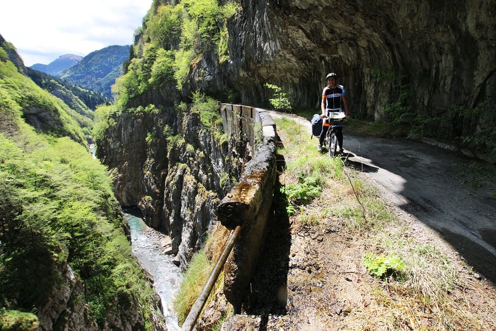
This will be a pretty challenging leg, along the coastal gravel roads of the 100 towers path. To have breakfast we reach Muravera and then, on secondary roads, the near Villaputzu, the village of the launeddas. From Villaputzu we follow the river Flumendosa on a partial gravel cycle path. In the locality of Santa Maria, we're back on the former SS125, the quiet and not busy old Sardinian coastal road, which leads us to Quirra, where we decide to follow the 100 towers path along the coast. The first leg brings us near the shooting site of Quirra, where many signs don't permit to continue. We take a look around: the area seems abandoned, and the presence of many shepherds confirms what we imagined already. We continue peaceful, we will discover the controversial history of this place afterward... In this solitude, we climb on a ramp until the tower of Murtas, where the adventure begins. This leg of the 100 towers path is really challenging on a fully loaded bike, but the views are so spectacular that we can bear the effort. We cycle for many kilometers on a cliff overlooking the sea, far from everyone and everything. Without even noticing, we enter the Nuoro province and more precisely in the Ogliastra region. In Barisoni we come back to civilization and after the last cappuccino of the day, we reach Torre di San Giovanni to enjoy the deserved rest.
Very demanding leg with a lot of gravel overlooking the sea. Breathtaking magnificence!
3 places not to be missed
- The cycle path through the rushes in Villaputzu
- The forbidden area in Quirra offroad
- A leg of the 100 towers path by bicycle
Torre San Giovanni - Tortolì
Leg 24 | 62 km | 780 m elevation gain | B&B S'Imbragu
We're in the Ogliastra region, one of the wildest and most uncontaminated areas in Sardinia. From Torre San Giovanni we climb back the road towards Tertenia passing under the Arcu de Sarrala de Susu and then following the Rio Sibiri to the town. Tertenia is 129 m high in the Quirra valley. From this village, we take the former SS125 towards the north until the river Pelau. On the other side of the valley, there are Jerzu, Ulassai, the village of Maria Lai ominated by Tacchi and Osini. Always by following the old road, we reach Cardedu and, a few kilometers further, Bari Sardo. From the locality, always on asphalt, the track leaves the former SS125 to get closer to the sea, passing over the Riu Mannu. We climb to pass over some interesting red rock formations and to have a view on the beaches of Torre di Bari at our back. After the hill passage, we climb down towards Cea and the long inviting beach. Tortolì is really close, with the coastal road of Orri in the blink of an eye we reach our destination. The B&B is a few kilometers in the hinterland, in the countryside, deviating the road leading to Lanusei.
Many hills but not so steep (except the one before Cea!).
3 places not to be missed
- Torre San Giovanni and the coast
- Views on Ulassai and its suggestive Tacchi
- Beach in Cea and red rocks
Tortolì - Parking spot after Genna Ramene
Leg 25 | 45 km | 830 m elevation gain | Tent
From Tortolì we follow the secondary road which crosses the industrial area in Arbatax to then reach its famous red rocks. From the sea, we're forced to come back cycling around the pond of Tortolì and passing through Girasole, Lotzorai and Santa Maria Navarrese. This last one, a locality of Baunei, is a great stop to buy some gas, sports stuff, and grocery. After a quick walk in the centenarian olive trees park (with a massive one dating more than 1000 years), the climb toward Baunei starts. The ascent, very panoramic, is never too steep but is challenging until the very end. The city of Baunei and its surroundings are the starting point for many hikers to visit the famous coves, like Cala Goloritzè and Cala Luna. In Baunei, after a stop by Michele and his parents' house, super hosts, we continue towards Urzulei. With breathtaking views, cycling is peaceful and not demanding. After a few kilometers, we reach a guest house with a picnic area.
Very beautiful leg, between the sea and the mountains.
3 places not to be missed
- Arbatax and the red rocks
- The thousand-year-old olive tree in Santa Maria Navarrese
- The climb in Baunei
Parking spot after Genna Ramene - The road at Correboi Pass
Leg 26 | 49 km | 1100 m elevation gain | Tent
From the picnic area, we keep following the old SS125 just under Monte Lopene, in the plain with the signs to Cala Luna. On the road, there is a freshwater fountain (on the right) where the inhabitants of Baunei take the water from. Soon, without any expectations, instead of continuing the trip on the former SS125, we turn left towards Urzulei and the Talana Pass. From Urzulei the road is beautiful and the view variate from the Supramonte mountains to the sea near Arbatax. In Talana, we have a coffee before the challenging climb to the pass. The turns follow one another in a pleasant setting, but cycling is really demanding. At the peak, the Gennargentu (the bridge of the wind, in Sardinian) appears, with Punta La Marmora reaching 1834 m. We follow the SS38 in the most peaceful quiet among flocks and mountains. On the way, we meet two other fountains: a real miracle in the hottest days. We lose height, being again on the former SS38 to reach the Correboi Pass, where the road seems closed to traffic...
Challenging mountain leg, especially the climb to Talan Pass. Marvelous views!
3 places not to be missed
- Views on the Gennargentu
- The climb to Talana Pass
- Urzulei and its streets
The road at Correboi Pass - Orgosolo
Leg 27 | 40 km | 640 m elevation gain | Agriturismo Cara a Monte
From the highest vehicular pass in Sardinia, Correboi Pass (even if now, as anticipated, the road is closed) we start a sweet climb in this valley, which gives us really pleasant views on the Gennargentu. In this remote corner of Sardinia, we cycle reaching 1246 m high to the pass the hills until the Pratobello valley, a place of controversy in land use destinations. From Pratobello, after cycling along the Montes forest on secondary roads, we climb down to Orgosolo, reaching the city of graffiti art directly from the Supramonte.
Due to some family issues, our bicycle trip in Sardinia ends in this very former bandit village, but to complete the lap of the island we thought about an itinerary to reach Olbia, where we would have sailed back to the "continent".
Medium difficulty leg, without any refreshment points until the very finish.
3 places not to be missed
- The Correboi Pass road
- Montes forest
- Orgosolo, the supramonte, and the graffiti art
From Orgosolo to Olbia by bicycle
The last two legs of the journey through Sardinia by bicycle should have led us from Orgosolo to the sea, and more precisely to Olbia. From the city of graffiti art, we thought following the SP22 until Oliena, another village to be visited. The road then should have led us to Dorgali and Cala Gonone, a very busy place during summer, but paradisiac in low season. Following secondary roads, we would have reached Orosei, Siniscola, the area of Bidderosa, Posada, one of the most beautiful villages in Italy, and its long beaches before Olbia, final destination of our adventure.