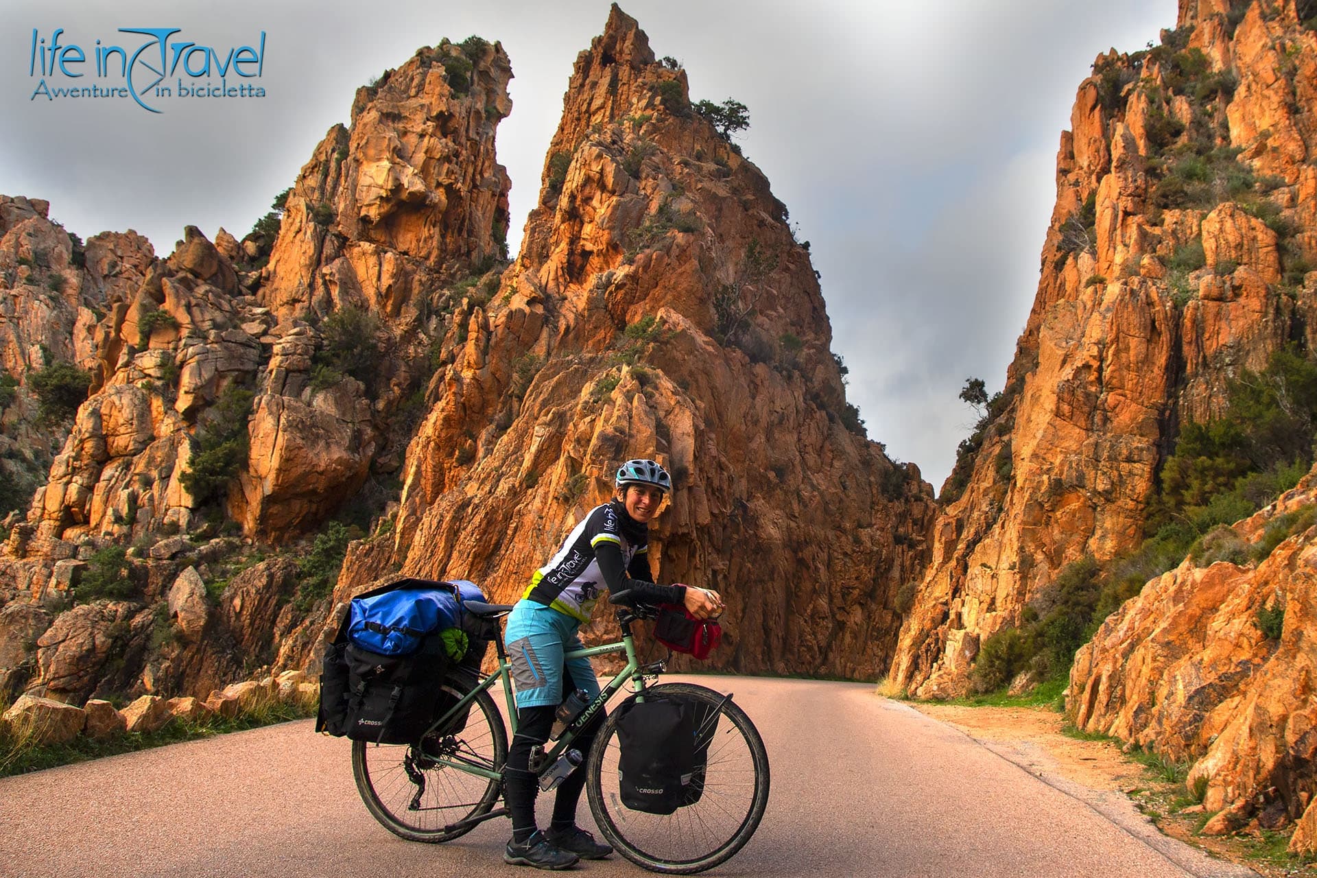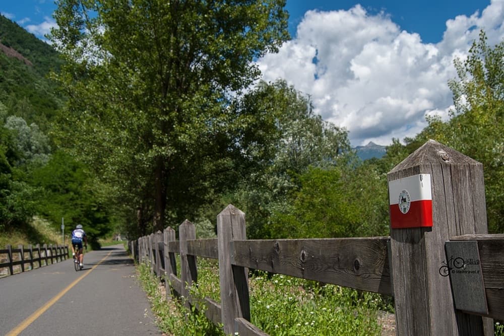
The Oglio Greenway (also known as Oglio River Cycle Path) is a bike path that follows the course of the river from its source, given by the meeting of the Frigidolfo and Narcanello streams in Ponte di Legno, at the mouth of the Po river, in the belly of the Po Valley. The Oglio cycle path, which runs along bike paths, secondary roads, dirt roads and embankments, is about 280 km long and can be tackled by everyone, with due attention, in 4 - 5 days of travel. By bicycle, the Oglio course should be discovered slowly, without haste, with a pinch of curiosity that will allow you to learn more about the vicissitudes and history that have characterized the past of this great river in Northern Italy.
In this article
The Oglio Greenway in a nutshell
The Oglio Greenway is a cycle-touring itinerary that follows the course of the river from the Alps to the Po crossing the entire Valle Camonica, the land of the Camuni, and skirting Lake Iseo up to Franciacorta, a popular land of wines, before reaching the Pianura Padana and the appointment with the longest river in Italy. The Oglio starts in Ponte di Legno, at the foot of the Adamello massif (3554 m), from the meeting of two streams with evocative names. From the small village at the top of the Camonica Valley, the Oglio Greenway starts, and in its long journey it allows you to get to know the naturalistic and historical beauties, as well as the gastronomic excellence of the territory.
The Camonica Valley by bicycle
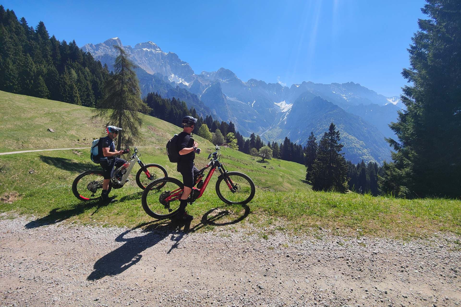
The Oglio cycle path begins at Passo del Tonale, at an altitude of 1883, on the border with Trentino. From the pass, where the views of the Adamello Regional Park are wonderful, take the promiscuous descent on asphalt towards Ponte di Legno. The town is a renowned winter and summer tourist destination where you can ski, engage in numerous sports activities such as cycling thanks to the presence of alpine passes such as the Tonale, the Stelvio, the Gavia and the Mortirolo or total relaxation thanks to the good quality accommodation facilities.
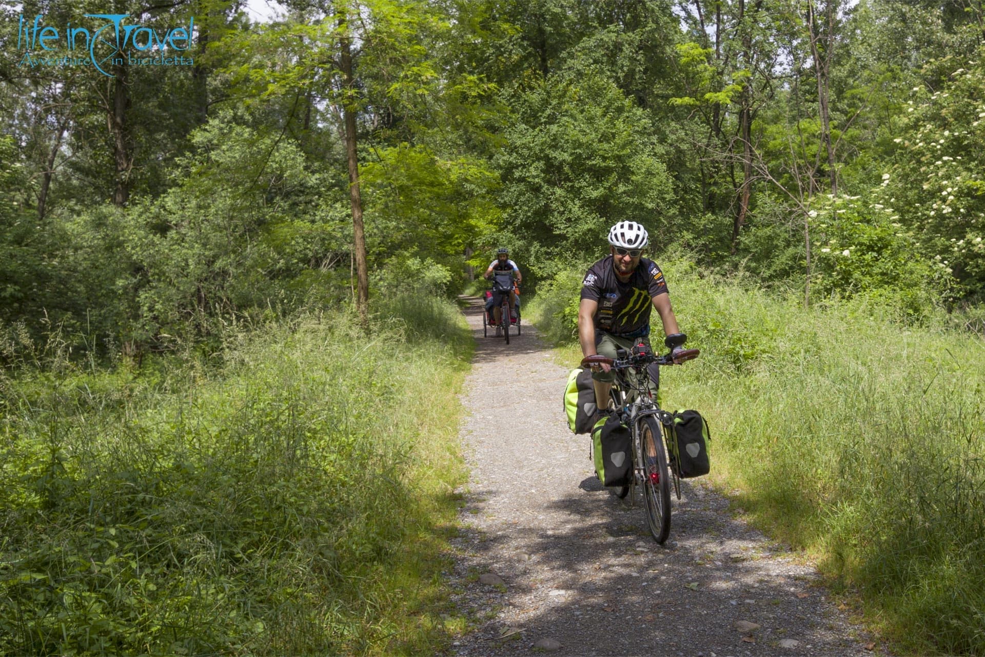
The itinerary then develops along the recently refurbished and improved Alta Valle Camonica cycle path, which connects Ponte di Legno to Edolo. During the last few years, cycling tourism in Italy has seen a strong development and also in this valley an attempt has been made to improve the tourist offer for MTB and bicycle lovers by developing new routes and implementing the cycle path between the upper valley and the Lake Iseo.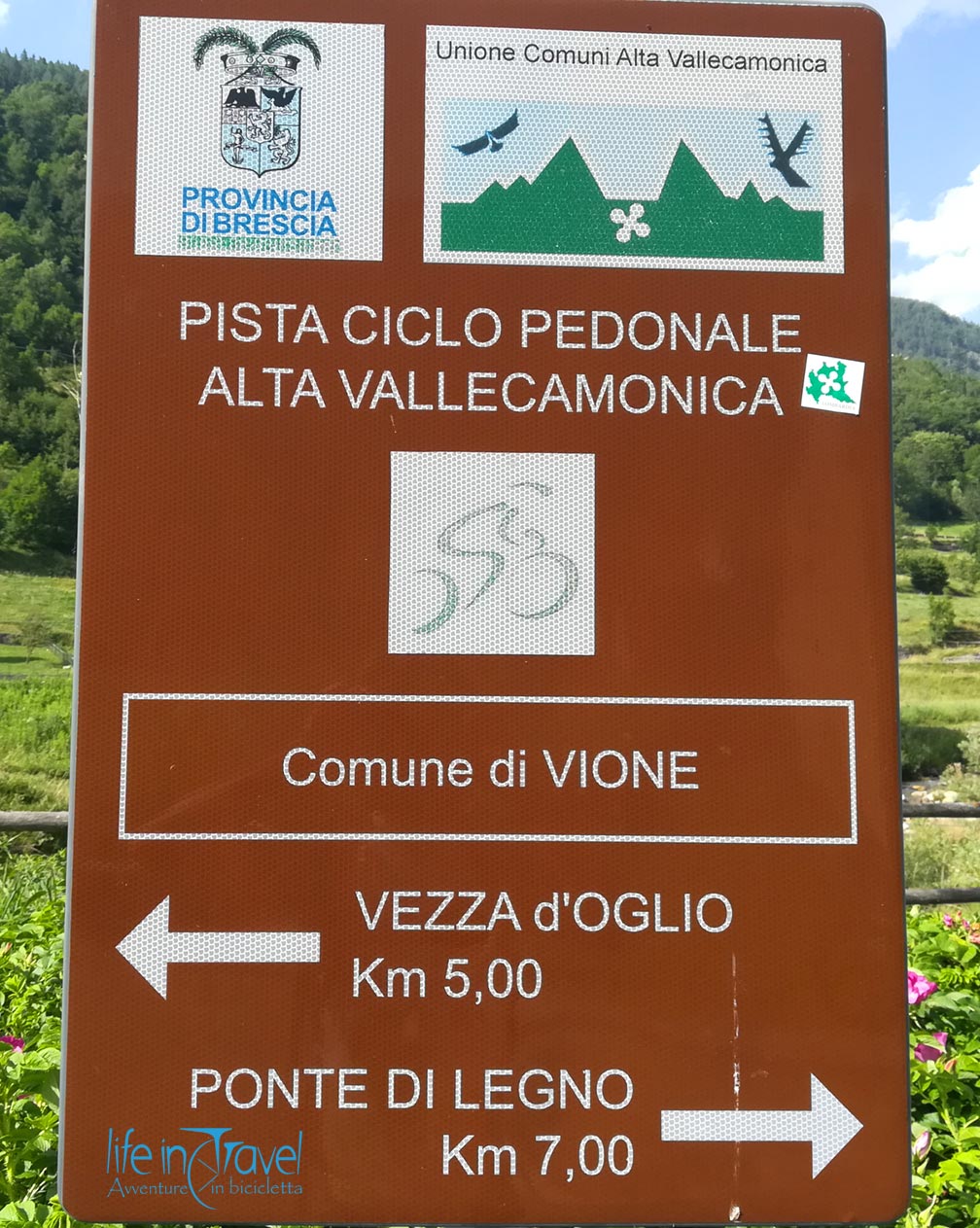 From Ponte di Legno you can easily reach Temù, where you can visit the Museo della Guerra Bianca in Adamello.
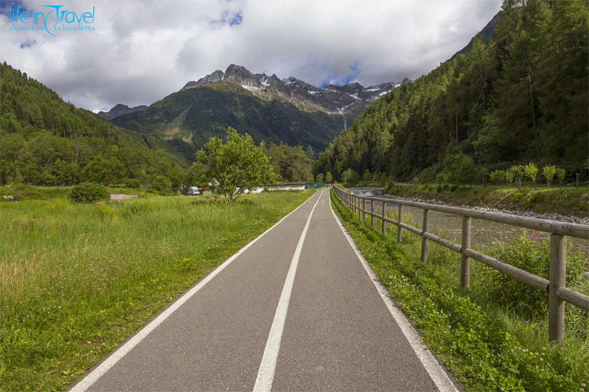
All around a crown of mountains up to 3000 m high characterizes the enchanting landscape of the Camonica Valley. You go down, at times imperceptibly, and during the late spring the green fields are covered with fragrant flowers that inebriate the spirit. The Oglio Greenway cycle path reaches Vezza d'Oglio, a town located at 1080 m, and then continues its journey on easy dirt roads towards Incudine and the other places preceding Edolo.
From Edolo to Iseo Lake by bicycle
The second part of the Oglio cycle route begins in Edolo, at the entrance to the Corteno Valley which rises from the town to the Aprica Pass and is crossed by the Ogliolo stream. Pedaling along secondary roads with little traffic you reach Malonno, whose historic center conceals houses and frescoes of undoubted value. If a few years ago, when I traveled the Valle Camonica cycle path from Capo di Ponte to the lake, I did not find precise signs and I was forced to face some stretches on a busy road, today the situation has improved and thanks to the presence of several easy dirt roads and the signs of the Tonale - Po route, well positioned, the journey is more pleasant. 
From Capo di Ponte, where you can visit three parks of rock engravings - including the best known national Park of Naquane - since 1979 as the first Italian site within the UNESCO World Heritage, take the Camuna cycle path towards the south. Naquane rises at the foot of Pizzo Badile Camuno, a sacred mountain for the Camunian populations. During the equinoxes, the shadow of Pizzo Badile, considered a male mountain, reaches the Concarena (bypassed by MTB in one of our itineraries!), considered a female mountain.
Near Capo di Ponte stands the hamlet of Cemmo which, in addition to hosting the National Archaeological Park of the Massi, also boasts the Pieve di San Siro dating back to the 11th century, perched on a rocky spur overlooking the Oglio river. The journey along the Oglio cycle path continues at times shaded in the woods, at times crossing villages.
After passing the Blè stream, just 3 km long, from the municipality of Ono San Pietro you enter that of Cerveno, known for the Via Crucis, kept in the sanctuary of the same name, carved in life-size wood and plaster.
In the valley, the river Oglio continues to flow southwards and by bicycle you pass Losine, from Breno where you can visit the sanctuary of Minerva and the panoramic castle and from Cividate Camuno where the archaeological park of the Roman theater and amphitheater is located.
After a visit to the smallest town in the province of Brescia, continue along the Oglio Greenway cycle path, savoring the warm air coming from the lake which is now really close. Before resuming the journey along the river, looking left towards the road that climbs to the Crocedomini Pass, you can see Bienno, one of the most beautiful villages in Italy. Before landing on the shores of Lake Iseo, you pass other places, among which Darfo Boario Terme, which appeared on the map of the Valle Camonica drawn by Leonardo Da Vinci in 1508, is worthy of mention.
From Darfo Boario Terme you can go up to Angolo Terme where you take the road connecting with the Val di Scalve, the suggestive Via Mala. The Oglio Greenway and cycle path reaches Lake Iseo in the picturesque town of Pisogne where the Bishop's tower appears as a defensive structure of the past still ready to fulfill its purpose...
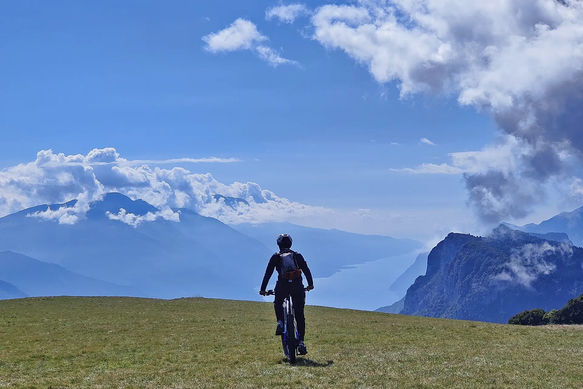
Cycling around Lake Iseo
Although the Oglio cycle path follows only the eastern shore of the lake, the Brescia one, I recommend to those who have time to travel the entire tour of Lake Iseo by bike because it is really worth it!
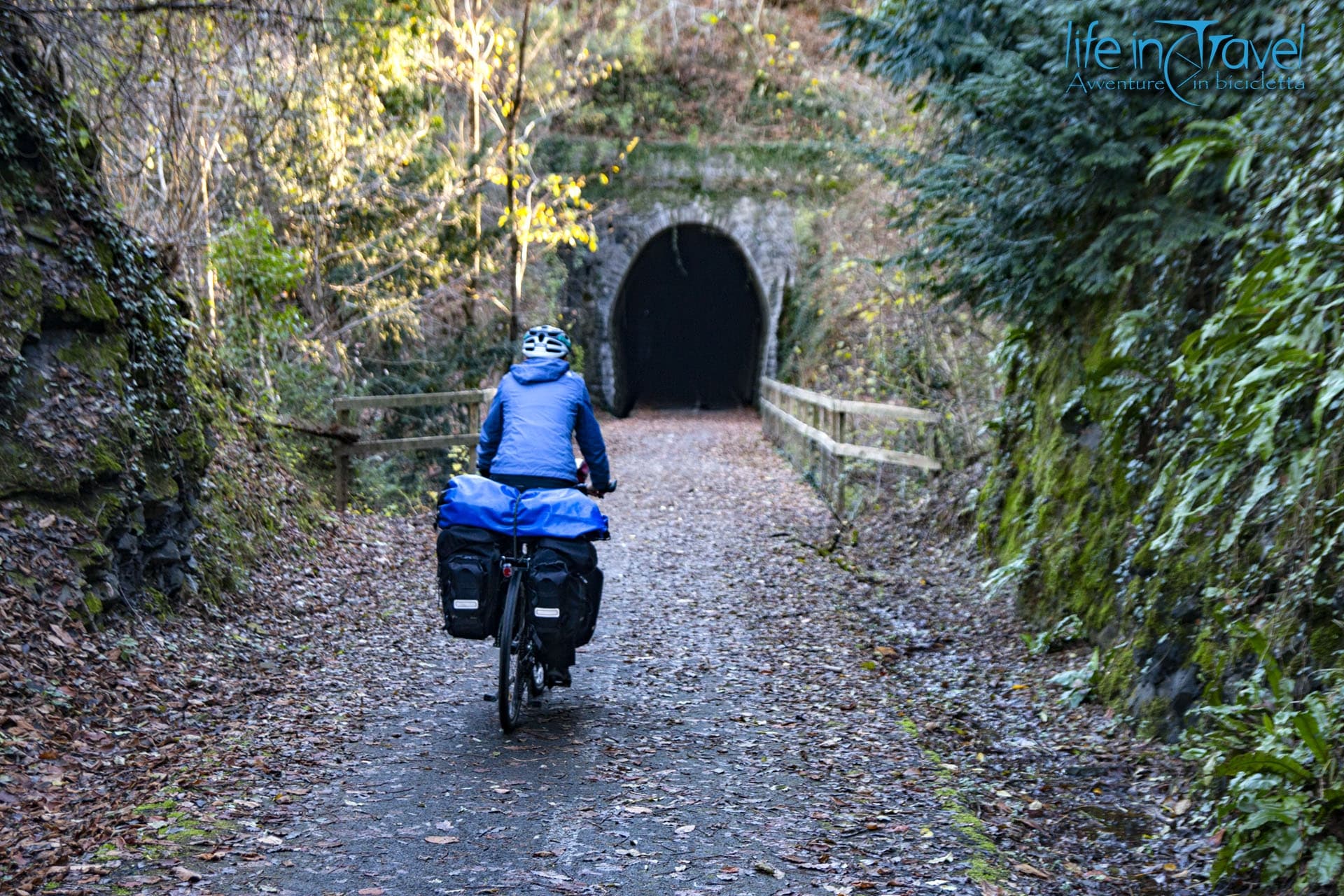
Having said this, we return to the Oglio Greenway which, leaving the pretty Pisogne on the cycle path, follows the perimeter of the lake along the imposing outline of the Corna Trentapassi. The cycle path called Vello - Toline is certainly one of the most evocative of the entire route with its views of the water and the villages on the western shore, the tunnels dug into the rock and the small rest areas where you can relax before resuming the tour.
From Vello to Iseo, the eastern shore of the Sebino is for now only partially enriched by the presence of the cycle path, but we are confident that in the near future it can be set up anywhere. The towns dedicated to the cultivation of olive trees follow one after the other: Marone, Sale Marasino, Sulzano, with its wonderful views of Montisola and the colorful Peschiera Maraglio, and finally Iseo.
The historic center of the most populated municipality of Sebino is a lively oasis full of interesting ideas. Among the most characteristic places of Iseo do not miss the opportunity to see: the Oldofredi Castle, the lakefront with the marina, the Pieve di Sant'Andrea from the 5th-6th century and the Church of San Silvestro with its macabre dance.
From Iseo the Oglio Greenway crosses the biotope of Torbiere del Sebino, a naturalistic area rich in fauna and flora, pleasant to explore especially on foot. By bike you follow the southern shore of the Sebino, for the most part covered by a cycle path, up to the hamlet of Clusane which, lying on the shore of the lake, is known in the area for the baked tench, a lake fish cooked in the traditional way.
Paratico is the last town on Lake Iseo to be crossed by the cycle path: the lake basin remains behind us and the Po Valley invites cyclists to continue their bike journey in the second part of the itinerary.
Discovering the plains of Lombardy
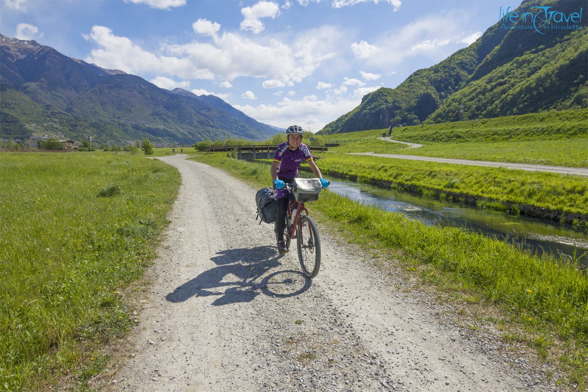
The river Oglio leaves Lake Iseo in the municipality of Paratico to continue crossing the Po Valley towards the Po. From the lake you enter the Parco dell'Oglio Nord and for a stretch, after crossing the invisible borders of the geographical area of Franciacorta, the route follows the green itinerary number 3 of the area which, at Capriolo, deviates towards the hills.
From here the Oglio Greenway continues parallel to the watercourse reaching Palazzolo, a town of 20,000 inhabitants with a Roman bridge over the river, the Rocca Magna, some towers and a 15th century parish church built on two much older buildings. The 1870 social theater is also worth a visit, perhaps during one of the seasonal shows. 
You continue to pedal between the riverbed and historic irrigation canals such as the Seriola Vecchia and soon you will find yourself in Pontoglio. Before leaving the town you cannot miss the ancient parish church of Santa Maria. The countryside dotted with farmhouses, the orderly flight of flocks, the harmonious sound of water and amusing dirt roads characterize the continuation of the cycle path in the Lombard plain.
Urago d'Oglio and Rudiano are still in the province of Brescia, but the province of Cremona is now close. Across the river at Orzinuovi, which you do not cross following the Oglio Greenway, rises Soncino with its marvelous Sforza fortress, the well-preserved Mulino Sant'Angelo, the Printing Museum and the ancient Pieve di Santa Maria Assunta.
The route continues to follow the orographic left of the Oglio going down more and more towards the south, crossing areas today devoted to agriculture and livestock, but once infested with marshes. After Quinzano the Oglio Greenway changes sides for a short stretch, just long enough to touch Robecco d'Oglio and its 1600 town hall just before entering Pontevico.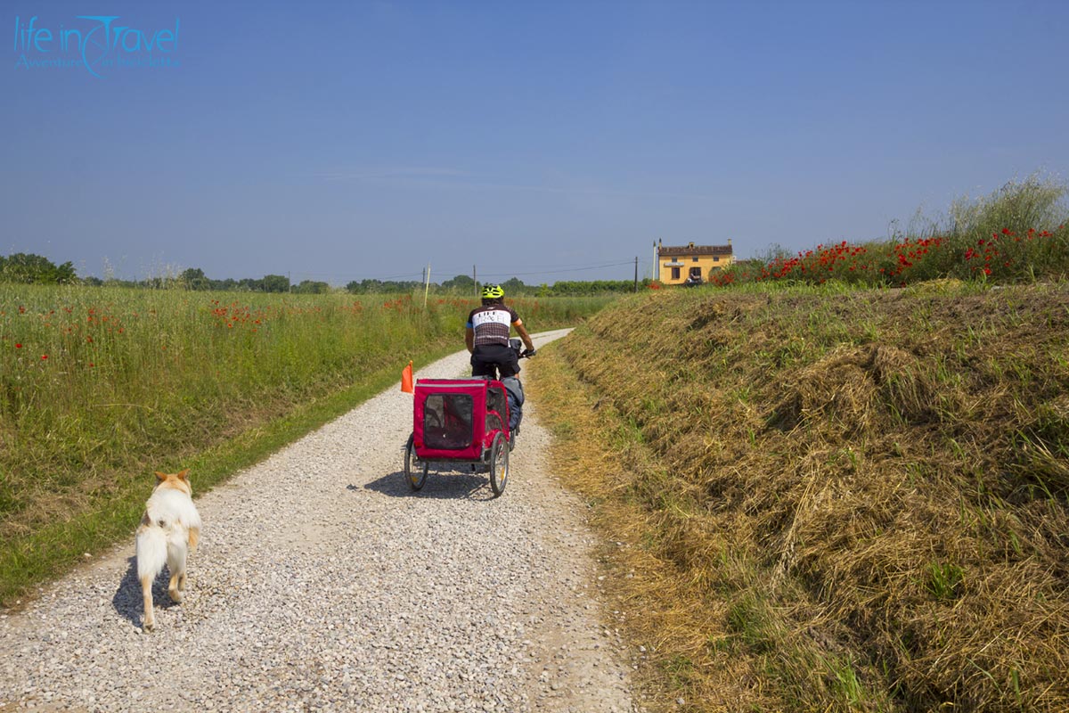
The end of this journey along the Oglio Greenway
The Oglio river flows south-east, collecting the waters of the Mella river coming from the Maniva Pass and, further on, those of the Chiese river.
Ostiano welcomes cycle travelers with its 15th century castle, while Isola Dovarese amazes with its large Piazza Matteotti where you can taste the typical Isolini biscuits.  The cycle route, which has recently moved to the right orographic bank, continues through a stretch of the province of Cremona, that of Mantua and the Southern Oglio park. Gazzuolo is one of the last villages touched by the itinerary, in the center you can see the castle, the long arcades, Palazzo Gonzaga and, in the Belforte hamlet, the 10th century oratory of San Pietro.
At Bocca Chiavica, at the height of the first of a series of bends in the river, you find yourself on the route of the Tyrrhenian cycle path that reaches the river Po in a few kilometers, at the height of the picturesque pontoon bridge of Torre d'Oglio.
The Oglio Greenway, after a long journey of 280 km, ends here but the adventure can obviously continue southwards following the Via Francigena or the course of the Po to the Adriatic.