The Po River Bike Path is a cycling route of over 680 km that follows the course of Italy's longest river, from its source on Monviso to the evocative Po Delta. A route that crosses diverse landscapes, historic villages, and art cities, offering a unique experience in contact with nature and the culture of the Po Valley. The Po Bike Path is an opportunity to discover the beauty of the territory, cycling peacefully on secondary roads and riverbanks.
In this article
From the Sources of the Po to Turin
The first section of the Po River Bike Path starts from the river's sources, at the foot of Monviso. Ideally, you can take the Pian del Re mountain hut as a starting point, not far from the French border, although the village of Paesana is more often considered the starting point of the Po bike path.
You soon leave the Western Alps to immerse yourself almost immediately in the Po Valley, which you will traverse from west to east in its entirety.

Initially, you take the former railway Airasca-Moretta through the Piedmont countryside, among cultivated fields and rural villages. You cycle on secondary roads and cycleways, with moderate elevation changes. Along the way, you encounter historic cities such as Saluzzo and Carmagnola, until you reach Turin, the ancient Savoy capital, with its monuments and museums.
Already in this section, the Po bike path system, also known as Ven.To., and the secondary roads you cycle on are part of the European long-distance route Eurovelo 8 of the Mediterranean, which starts in Spain and ends in Greece.
From Turin to Pavia
From Turin, the Po bike path continues eastward, crossing the floodplain. You cycle on riverbanks and country roads, with sections of bike path. Along the way, you encounter characteristic villages such as Chivasso and Casale Monferrato, with their castles and churches. You cross the Lomellina, land of rice fields and poplar groves, until you reach Pavia, the ancient Lombard capital, with its university and the Covered Bridge.
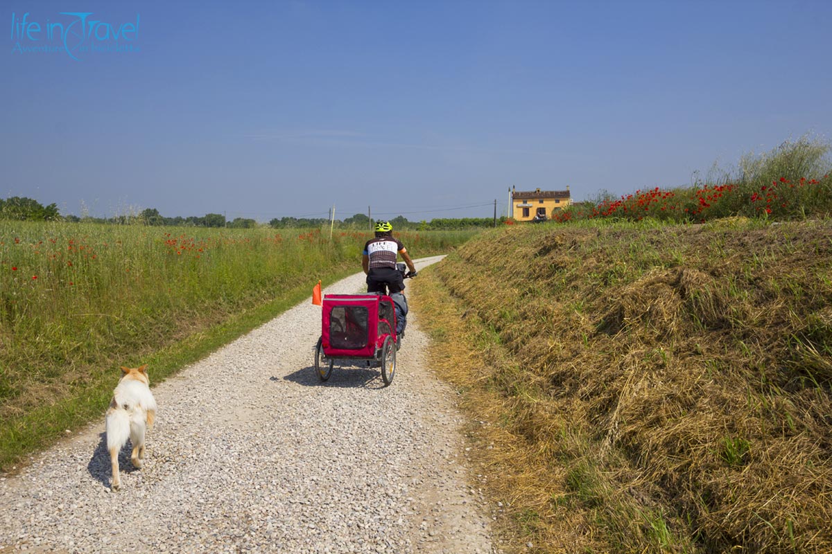
In this section, the Po bike path coincides with another European cycling route, the Eurovelo 5 or Via Romea Francigena. Especially in this section, but a bit along the entire route, secondary roads alternate with long stretches of riverbank that are often dirt, so make sure you have the right tires to tackle this journey.

From Pavia to Ferrara
From Pavia, the Po River Bike Path, which can often be followed on both sides of the great river, follows the right bank of the river. You cycle on secondary roads and bike paths, with sections of dirt road, and in this section of the route, the many art cities between Emilia Romagna and Lombardy characterize the journey.
The main ones are Piacenza, a city with an important artistic heritage, including the Duomo, Palazzo Farnese, and Piazza Cavalli, and Cremona, the city of music, famous for its violin making and the Torrazzo, the tallest bell tower in Italy.
You cross the Lower Po Valley, land of fogs and traditions, passing through Parma, the city of Verdi, with a rich gastronomic heritage, until you reach Ferrara, the Renaissance city of the Este family, with its castle and walls.

From Ferrara to the Po Delta
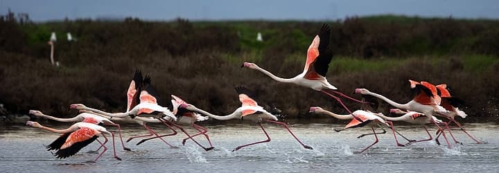
The last section of the Po Bike Path leads to the Po Delta, a unique natural environment with valleys, lagoons, and reed beds.
Once again, you cycle on secondary roads and bike paths, with sections of dirt road along what is known as the Right Po Bike Path. Along the way, you encounter fishing villages such as Comacchio and Goro, with their ports and fish markets.
You cross the Po Delta Regional Park, a protected area of great natural value divided between Veneto and Emilia Romagna, until you reach the mouth of the river, where the Po flows into the Adriatic Sea. In this maze of canals, the bike path also splits, and you can follow various routes.
Further north, you follow the Eurovelo 8 route towards Slovenia and the Balkans, further south you can join the Adriatic cycle path which continues towards the heel of Italy, Puglia.
Useful tips
The Po River Bike Path is suitable for cyclists of all levels, with flat routes and moderate elevation gains. The best times to ride the cycle path are spring and autumn, when the climate is mild and temperatures are pleasant. In summer, mosquitoes and heat could weigh down the journey.
Along the route there are numerous accommodation facilities, including bike hotels, farmhouses, hostels and campsites. Although most of the route is marked, I suggest you download the GPS tracks or get a map of the route because sometimes the signs leave a little to be desired.
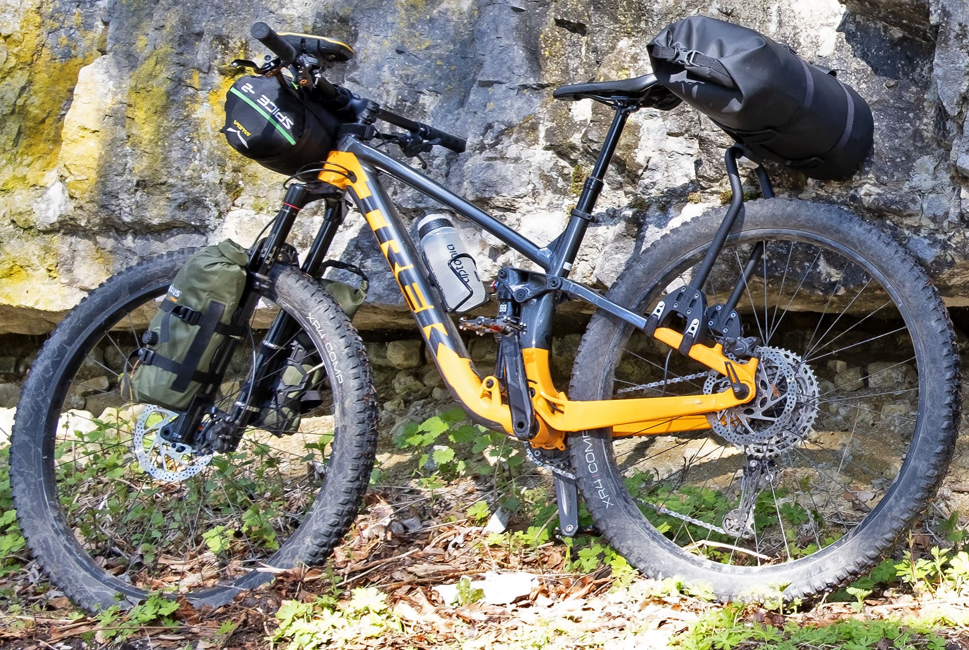
The use of a travel bike or a gravel bike is recommended, with resistant tires of at least 42 mm and preferably equipped with a good lighting system. As always, respect the environment and the signs and do not leave waste along the route but, rather, collect those left by others.
The route map refers to the journey of Marco who concluded his gravel adventure in Venice and for this reason it is about 90 km longer than indicated in the technical data.