You may have guessed by now that this winter is dedicated to exploring trails and cart tracks in Trentino by MTB. The route I am telling you about today takes place in the Adige valley, on the western slopes of the Vigolana without ever climbing too high and following the Sentiero dell'Imperatore 431B downhill to Mattarello.
In this article
Descent from the hill
Starting from the hill east of Trento, where I live, before tackling the plain of the Adige valley, you have to reach the bottom of the valley, but on a MTB it is better to look for alternative routes, so starting from the Don Onorio Spada sports centre in Villazzano, we immediately warm up our legs by pedalling towards San Rocco, passing through the centre of the hamlet.
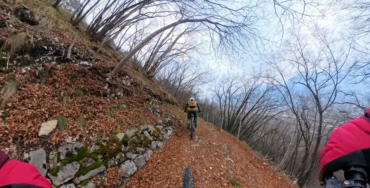
A brief passage on the Fricca road allows us to move onto the valley side, passing above the hamlet of Casteller. Here begins first a flat forest road and then a nice, fast, fun trail that runs for a while parallel to the Novaline road and then plunges headlong towards the first offshoots of the hamlet of Mattarello. A bump immediately puts a strain on my still cold legs but then the plain awaits.
Gravel sugli argini dell'Adige
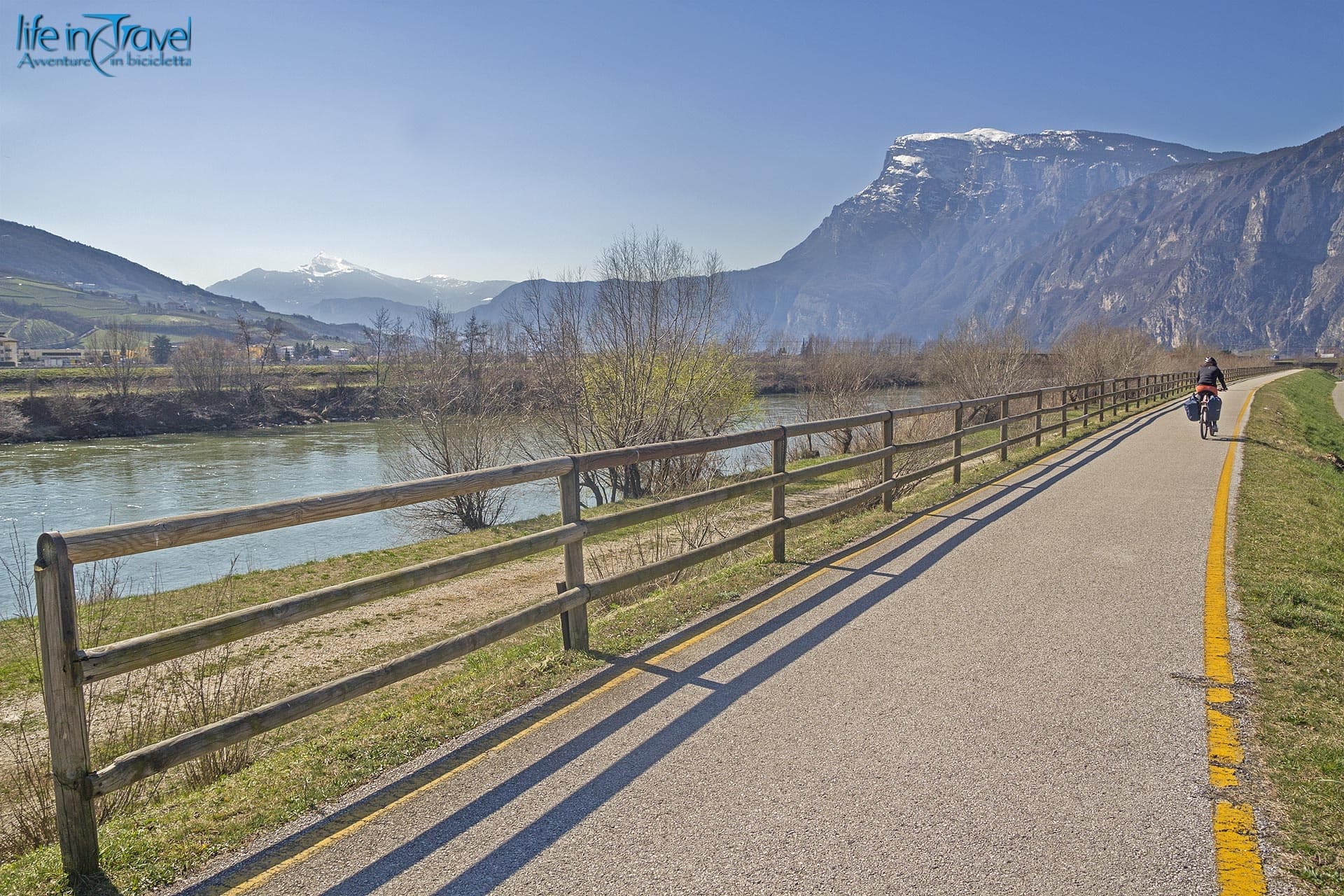
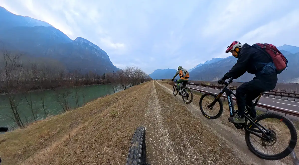
A few hundred meters on the road allow us to reach the banks of the Adige river. On the left orographic side runs the Adige cycleway but today we prefer to stay on dirt and we enter the right bank that hosts a dirt road.
The route is not the best for a mountain biker but it allows you to warm up your legs a bit. In total you pedal for about 10 kilometers on the plain, for most of the time flanked on one side by the river and on the other by the highway.
Besenello and two climb alternatives
At Besenello you come to a porphyry-paved bridge and return to the eastern side of the Adige Valley, leaving the river and entering the village via a subway.
There are two uphill alternatives at this point. In both cases you will have to push your bike: in the first due to the objective difficulties of the path, in the second due to the excessive gradients in my case and the presence of an ordinance prohibiting bikes in the case of trained bikers or those on electric bikes.
The road is very steep, but it is not very steep.

Val dei Vignai track
The first uphill alternative is the path in the Val dei Vignai. In this case, to reach the trail, once you have passed the subway of the SS12 state road, you take it back north for a few hundred metres and then turn right and begin a ramp that leads to the entrance of the trail. The trail is all to be done on foot by pushing or carrying a bicycle, so be prepared for a bit of trekking and put your heart in your mouth.
The trail starts at around 200 m above sea level and reaches almost 800 m before crossing the Emperor's Path.
Scanuppia Road
The other alternative is Scanuppia, a road that became known among cyclists in the nineties for its slopes that made it called the hardest road in the world. I had pedalled to Malga Palazzo at the beginning of the millennium and since then I had not returned also because, as I was telling you, today a municipal ordinance prohibits the transit of bicycles.
If you want to travel along the Scanuppia road then know that you do so only and exclusively under your own responsibility
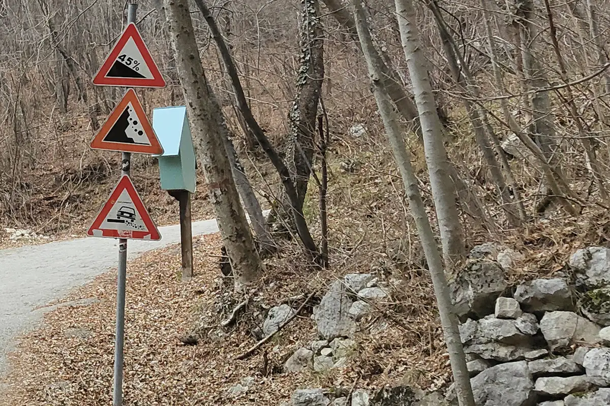
We decide to do it, getting off the saddle and pushing the bike after having passed the bridge near the quarry above the village of Besenello, right at the entrance to the cement road. The route that leads to the entrance of Path 431b is about two kilometers long and a sign at the beginning of the road indicates the maximum gradient of 45%!
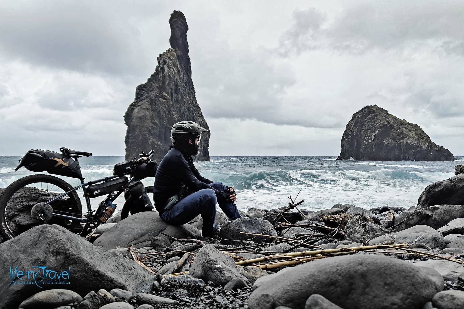
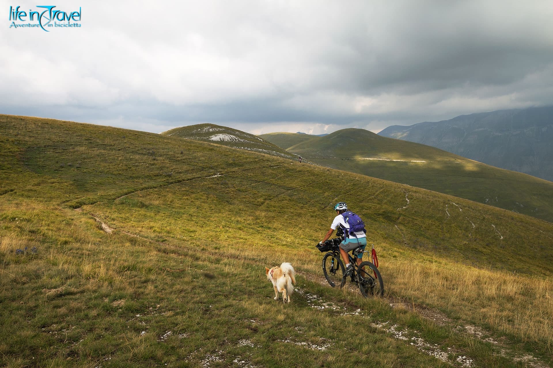
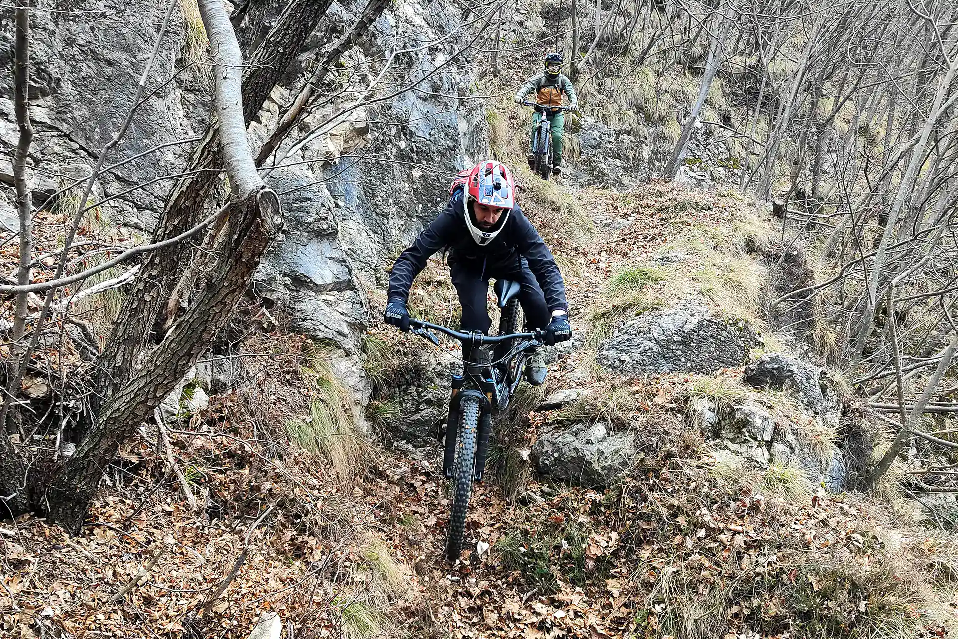
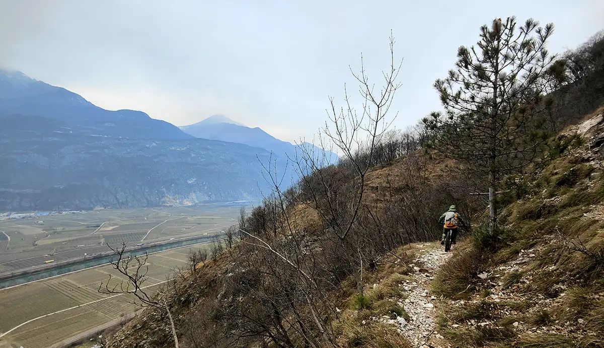
Emperor's Path: a thrilling descent
The effort that the calves have to face is interrupted at the height of the fifth hairpin bend, after a short, more breathable stretch of the climb. Right here, at about 840 m above sea level, the signs mark on the left the path 431b known as the Emperor's Path due to its military origins as access to the Folgaria and Lavarone plateaus, known conflict zones between the Italians and the Austro-Hungarians.
A few snowflakes greet us as we complete the work of dressing before starting the path that does not immediately begin with a sudden nosedive. In fact, you move north while remaining at altitude in an up and down that is never banal.

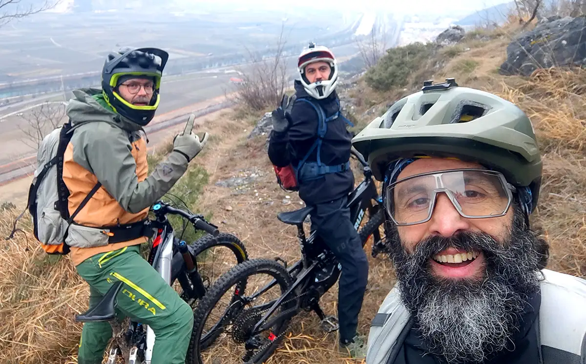
After a short while you come across the descent into Val dei Vignai and leave it on the left continuing towards a last hump. Once past the hump, the more technical sections begin with some manageable hairpin bends and others that are narrower and impossible to tackle for us humans incapable of doing nose press on exposed rocks. Among us, only Ale manages like a chamois while I allow myself some satisfaction but have to get off the saddle more than once.
The half-steep path descends in jagged sections and care must be taken in some places, as a mistake could mean a big tumble down to the valley floor. The crumbly rock and some gullies have taken away the human track in places but it will not be difficult to cross the gullies with the bike at your side.

The Novaline to return to the hills
Returning to the road, we ascend and in no time at all we enter the centre of the oldest part of Mattarello from where we take the last effort of the day, the Novaline road. Although asphalted, this road still has a couple of ramps that at the end of the ride make your legs sing again, but in no time at all you find yourself back in San Rocco from where you can take the outward route to return to the starting point and end this enjoyable ride on the slopes of the Vigolana in the Adige valley, suitable for winter and early spring.